 Forest Heights
National Harbor sits on the Potomac River in Maryland, where a planned waterfront district extends along Prince George’s County’s riverbank. Its focal point is the Capital Wheel, a 175-foot observation wheel beside a marina and broad riverfront promenade. Opened in 2008, National Harbor brings hotels, restaurants, shops and event venues together in a compact, purpose-built district. The Woodrow Wilson Bridge carries the Capital Beltway across the Potomac immediately north, linking Maryland and Virginia. Boat slips, public gathering spaces and the waterside setting make the area part of the Washington metropolitan region’s leisure and convention landscape.
Generated by AI







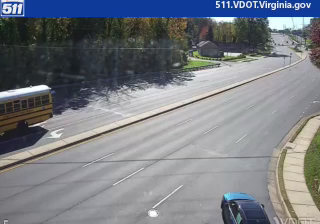
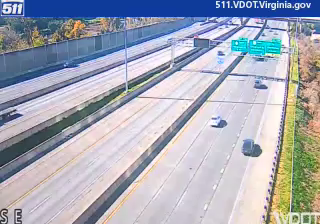

Forest Heights lies along the Potomac River corridor, where low-rise Maryland neighborhoods meet the transport network serving Washington, DC. The Woodrow Wilson Bridge, carrying the Capital Beltway across the Potomac to Virginia, is a defining part of the local geography and reflects the town’s position at the edge of the capital region. Nearby Oxon Cove Park preserves Oxon Hill Farm, a National Park Service site interpreting the history of a former plantation. National Harbor in neighboring Oxon Hill adds a modern waterfront district with shops, restaurants, and public events. View additional webcams nearby to see how Forest Heights connects with the Potomac and greater Washington.
1 webcam
Maryland is widely known in the United States for Chesapeake Bay, the vast estuary that shapes much of its eastern shore. The state extends from Atlantic beaches and tidal wetlands across the bay’s low-lying Eastern Shore to rolling Piedmont country and the forested Appalachian west. Baltimore, its largest city, developed around a major harbor on the Patapsco River; Annapolis, the capital, is home to the United States Naval Academy. Seafood, particularly blue crabs, is central to Maryland’s food traditions, while the Chesapeake and Ohio Canal follows part of the Potomac River corridor. See Maryland in its wider Mid-Atlantic setting by browsing webcams nearby.
28 webcams
The Atlantic, Pacific and Gulf coasts define much of the United States — their ports, fisheries and trade routes have long tied the country’s economy to the wider world. Between them, the Rocky Mountains, Great Plains and Mississippi River basin form sharply different regions, from high western ranges to broad agricultural heartlands. Cities carry much of the national story: New York’s Statue of Liberty, a gift from France dedicated in 1886, remains an enduring symbol, while Washington, DC concentrates major federal institutions. Indigenous nations have shaped these lands for millennia, and their living cultures remain essential to the country’s identity. Find related webcams in the surrounding areas to build a fuller picture of the United States.
32K webcams