 Doksy: Lake Mácha
Lake Mácha is best known in Czechia for being a large artificial lake created by Emperor Charles IV in 1366. Set beside Doksy in the Liberec Region, it was originally known as the Great Pond and covers about 284 hectares. Forested shores, beaches and boat facilities have made it one of the country’s longstanding recreation areas. Its modern name honours the Romantic poet Karel Hynek Mácha, whose poem Máj is closely tied to this corner of Bohemia. Above the southern shore rises Bezděz, the twin-peaked hill crowned by the ruins of medieval Bezděz Castle; together, the lake and castle define the Mácha Region.
Generated by AI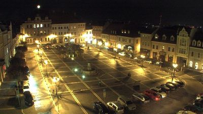
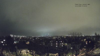

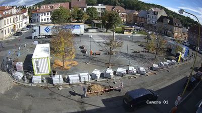



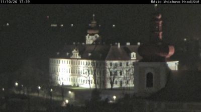

Doksy occupies a forested, sandy plain beside Máchovo jezero in the Mácha Region of Liberecký kraj. Despite its name, Máchovo jezero is a large pond created on the orders of Charles IV in the 14th century; its wooded shores and open water have long shaped the town’s summer identity. The lake was later named for the Czech Romantic poet Karel Hynek Mácha, whose work is closely associated with this part of northern Bohemia. The Gothic ruins of Bezděz Castle rise nearby on a twin-peaked hill, adding a striking historic landmark to the area. Find related webcams in the surrounding area to build a fuller picture of the Mácha Region.
1 webcam
Liberec Region is best known in Czechia for Ještěd, the mountain above Liberec crowned by its unmistakable hotel and television tower. In the country’s north, the region reaches from the Jizera Mountains towards the Krkonoše and Lusatian Mountains, while the Nisa River runs through Liberec and continues north into Poland and Germany. Liberec, the regional capital, developed as an important textile-manufacturing centre; its 19th-century Town Hall remains one of the city’s defining buildings. Borderland geography gives the area a distinctly Central European character, with mountain resorts, forest roads and historic towns close together. Browse additional webcams from the surrounding area to extend your view of Liberec Region.
110 webcams
The terrain of Czechia ranges from fertile lowlands in southern Moravia to mountain ridges along the northern frontier, giving this Central European country a distinctly varied geography. The Vltava runs through Prague before joining the Elbe, while the Krkonoše form part of the border with Poland and include Sněžka, Czechia’s highest mountain. Prague’s historic centre, with Prague Castle and Charles Bridge, reflects the city’s long role as a political and cultural centre. Beyond the capital, Bohemia is known for spa towns and brewing, and Moravia for wine-growing traditions. View additional webcams nearby to better understand how Czechia relates to its Central European surroundings.
1.4K webcams