 Ban Phe: White stone - Mae Ram Phueng Beach
Mae Ram Phueng Beach occupies a long coastal strip on the Gulf of Thailand in Rayong Province. Near Ban Phe, its sandy shore is interrupted by the boulder-strewn White Stone headland, where rounded rocks extend into shallow coastal water. The beach runs along the mainland coast west of Ban Phe, a fishing and ferry town associated with boat crossings to Ko Samet. This stretch belongs to the Rayong shoreline rather than the island itself, combining an open beach with a more rugged rocky edge. Ban Phe is also known for seafood and for serving nearby island routes, while the coast remains part of a working eastern seaboard community.
Generated by AI
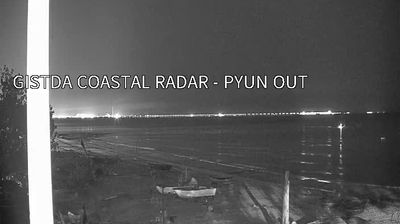

Built around a fishing harbour on the Gulf of Thailand, Ban Phe grew into a coastal departure point for the islands off Rayong Province. Ferries from its piers connect the mainland with Ko Samet, whose beaches and forest lie within Khao Laem Ya–Mu Ko Samet National Park. The working waterfront remains closely tied to Rayong’s seafood trade, and local shops are known for dried fish, squid and other preserved catches. Fishing boats, island-bound travellers and everyday commerce give this stretch of coast a distinctly local rhythm. Explore nearby webcam locations that provide complementary perspectives on Ban Phe, Ko Samet and Rayong’s Gulf coast.
1 webcam
Built around the Rayong River basin and the Gulf of Thailand coast, Rayong Province grew into one of eastern Thailand’s most varied provinces. Its shoreline runs from urban beaches near Rayong city to the islands of Khao Laem Ya–Mu Ko Samet National Park, where Ko Samet is a familiar escape from Bangkok. Inland orchards are closely associated with durian, rambutan and mangosteen, while Map Ta Phut is a major centre of Thai heavy industry. Fishing ports and seafood restaurants also shape the mainland coast. In Rayong city, Wat Pa Pradu is known for its reclining Buddha, depicted lying on its left side. Browse additional webcams from the surrounding area to extend your view of Rayong Province.
3 webcams
Thailand stretches from the mountains along its northern borders to the Malay Peninsula, encompassing fertile central plains, river deltas and long tropical coasts. The Chao Phraya River runs through Bangkok, where the Grand Palace and Wat Phra Kaew remain central symbols of the Thai monarchy and Buddhist tradition. North of the capital, Ayutthaya’s temple ruins recall the former Siamese kingdom; farther south, the Andaman Sea and Gulf of Thailand frame islands, fishing ports and beach resorts. Thai food, from street stalls to regional kitchens, is inseparable from daily life, while Songkran marks the traditional New Year each April. Browse additional webcams from the surrounding area to extend your view of Thailand.
151 webcams