 Maastricht
Tucked along the River Maas near the Belgian and German borders, Maastricht is a place whose character is shaped by centuries of river trade and cross-border exchange. One of the Netherlands’ oldest cities, it grew from a Roman settlement at a crossing of the Maas and later became an important fortified town. Its compact centre combines cobbled streets and medieval churches with squares such as Vrijthof, a long-standing focal point of city life. The Basilica of Saint Servatius stands nearby, while the 13th-century Helpoort is the oldest surviving city gate in the Netherlands. Maastricht gave its name to the 1992 treaty that established the European Union, connecting this Limburg city with a defining chapter in modern Europe.
Generated by AI


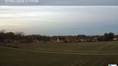
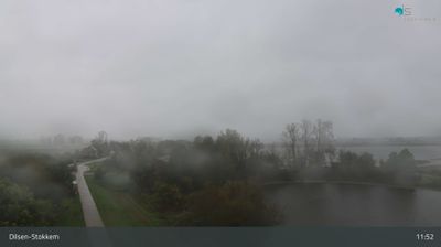
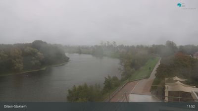
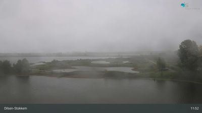


Among Limburg’s cities, Maastricht stands out for its centuries-old position on the River Meuse and its place in the story of European cooperation. The compact centre combines medieval streets with the Vrijthof, a broad square bordered by the Basilica of Saint Servatius and St John’s Church. Maastricht began as a Roman settlement at a crossing of the Meuse; its name derives from the Latin Mosa Trajectum, meaning “crossing of the Meuse.” In 1992, the Treaty on European Union was signed here, permanently linking the city with the creation of the EU. Explore nearby webcam locations that provide complementary perspectives on Maastricht and the Meuse valley.
3 webcams
The terrain of Limburg ranges from sandy heathland and Meuse-side lowlands in the north to rolling loess hills in the south, giving this Dutch province unusually varied relief. The Meuse, known locally as the Maas, runs north through Limburg and has long linked river towns, floodplains and farmland. In the far south, Maastricht stands near the Belgian border and is among the Netherlands’ oldest cities; the 1992 Treaty on European Union takes its name from the city. Limburgish is recognised as a regional language in the Netherlands, while vlaai, a filled pastry, remains a local speciality. Discover how Limburg connects with the Meuse valley and the wider Netherlands by browsing webcams nearby.
5 webcams
Among the countries of northwestern Europe, the Netherlands stands out for its carefully managed lowlands in the Rhine–Meuse–Scheldt delta. Much of the country lies low in relation to the sea, and dikes, dunes, pumps and polders are integral to its everyday geography. The North Sea coast ranges from broad beaches to the Wadden Sea, a tidal area shared with Germany and Denmark. Amsterdam’s 17th-century canal ring recalls an era when Dutch trade connected the republic with ports around the world. Beyond the capital, bicycles, dairy farming, bulb fields and compact historic cities give the country a distinct rhythm. Rotterdam’s port and the Delta Works show how maritime commerce and water engineering remain central. View additional webcams nearby to better understand how the Rhine–Meuse–Scheldt delta relates to its North Sea surroundings.
129 webcams