 District of Martin
Martin Airport sits in the Turiec Basin in Slovakia’s Žilina Region, where broad farmland lies between the Malá Fatra and Veľká Fatra mountain ranges. The airfield occupies part of the open Turiec valley, a north–south corridor followed by the Turiec River and framed by contrasting mountain massifs. Martin, the district’s principal city, holds an important place in Slovak national life: Matica slovenská, Slovakia’s oldest cultural institution, was founded there in 1863. The city is also home to several institutions of the Slovak National Museum. Paved aircraft areas, grass margins and a wide mountain horizon give the site a notably spacious character.
Generated by AI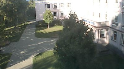
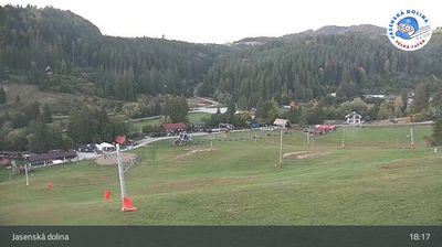
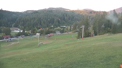
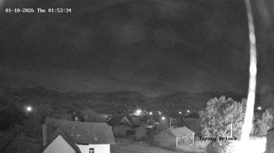
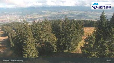
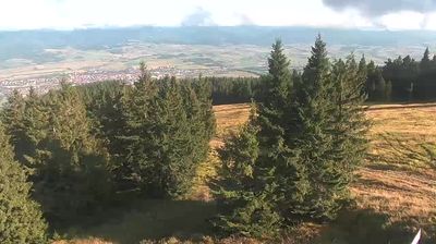
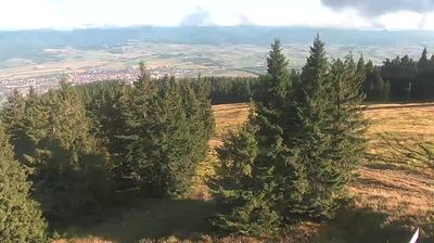
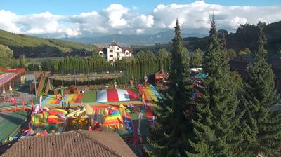

The District of Martin is best known in Slovakia for Matica slovenská, the cultural institution founded in Martin in 1863. It lies in the Turiec Basin between the Malá Fatra and Veľká Fatra mountain ranges, while the Turiec River runs through the town of Martin. Martin played an important role in the Slovak national movement during the 19th century, a legacy reflected in its literary institutions, museums and archives. The Museum of the Slovak Village, an open-air museum on the town’s outskirts, preserves traditional relocated buildings from across Slovakia. Discover other points of interest through webcams located across the District of Martin and the Žilina Region.
11 webcams
The Region of Žilina is best known in Slovakia for its concentration of Carpathian mountain ranges. In the country’s north, it brings together the valleys of Orava, Kysuce, Liptov and Turiec, with the Váh—Slovakia’s longest river—running through its central corridor. Malá Fatra is a defining presence, while parts of the Western Tatras and the High Tatras lie within the region. Orava Castle, set high above the Orava River, is among Slovakia’s best-known medieval fortresses. Near Ružomberok, Vlkolínec preserves a traditional mountain settlement inscribed on the UNESCO World Heritage List. Discover how the Region of Žilina connects with northern Slovakia by browsing webcams in the surrounding area.
66 webcams
Slovakia is best known internationally for the High Tatras, whose granite summits form the country’s most celebrated mountain landscape. Gerlachovský štít, at 2,655 metres, is the highest peak in Slovakia and in the Carpathians. The Danube runs past Bratislava, where Bratislava Castle stands on a hill above the river, linking the capital to Central Europe’s major waterway. Beyond the cities, forests, karst terrain and small historic towns define much of the country. Slovakia’s long folk tradition is also represented by the fujara, a large shepherd’s flute recognised by UNESCO. Browse additional webcams from the surrounding area to extend your view of the High Tatras and the Danube region.
280 webcams