 Hella
Built around a trading post on the Ytri-Rangá, Hella grew into a service centre for the Rangárvellir lowlands of southern Iceland. The town stands on a broad agricultural plain between the river and the volcanic country associated with nearby Hekla, while Route 1 makes it a practical stop on journeys across the south. Its name comes from the Icelandic word for caves, referring to caves associated with the area around the settlement. Farming and horse breeding remain important across the district, alongside the shops, accommodation and everyday services concentrated in Hella. The open terrain gives the town a distinctly lowland character, unlike many Icelandic communities set beside fjords or beneath steep mountain slopes.
Generated by AI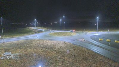
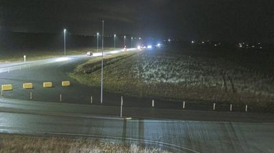
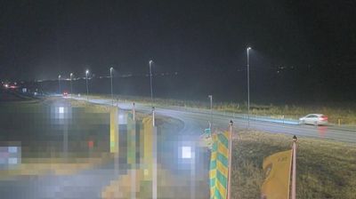



Few settlements in Iceland’s Southern Region are as historically bound to the farming communities of Rangárþing as Hella. Set on the Ytri-Rangá, this small service town occupies open lowlands on Iceland’s Ring Road, between Reykjavík and the south coast. The river is well known for salmon fishing, while the surrounding fields underline the continuing importance of pasture and agriculture here. Near Hella, the hand-cut caves at Ægissíða are a notable local site, although their age and original purpose remain debated. Hella is also a useful stop for journeys toward Hekla and the waterfalls, black-sand coast and glacier country farther east. View additional webcams nearby to better understand how Hella relates to the lowlands and volcanic interior of Southern Iceland.
2 webcams
Iceland’s Southern Region extends from the Atlantic coast to the Vatnajökull ice cap, encompassing black-sand shores, glacial outwash plains and volcanic highlands. This broad part of the country is crossed by rivers descending from the interior, including the Þjórsá, Iceland’s longest river. Vatnajökull National Park protects extensive glacier and volcanic terrain, while the south coast bears the marks of eruptions, floods and ocean weather. Þingvellir, a UNESCO World Heritage Site, is where the Alþingi, Iceland’s parliament, first assembled in 930. Farms and small towns lie between mountains and sea, in a region where conditions can change rapidly. Continue through nearby webcams to explore different parts of Iceland’s Southern Region.
108 webcams
Iceland occupies a volcanic North Atlantic island on the Mid-Atlantic Ridge, between Europe and North America. Glaciers, black-sand shores and active geothermal areas form a terrain in constant dialogue with the weather; Vatnajökull is Europe’s largest glacier by volume. The Golden Circle links Þingvellir National Park, the Geysir geothermal area and Gullfoss waterfall, while Reykjavík concentrates much of the country’s contemporary culture and design. At Þingvellir, the Alþingi first assembled in 930. Fishing, wool knitwear and geothermal energy remain central to Icelandic life. Find related webcams in the surrounding area to build a fuller picture of Iceland.
657 webcams