 Zelezniki
Among Slovenia’s mountain regions, Ratitovec stands out for its long limestone ridge above the Selca Sora valley. Its highest point, Altemaver, reaches 1,678 metres, and the mountain belongs to the Škofja Loka Hills, a transitional upland between the Ljubljana Basin and the Julian Alps. The slopes descend towards Železniki, a town whose name and identity are tied to centuries of ironworking. Ratitovec has long been a destination for walkers from the Selca Valley. Forests and mountain pastures along its flanks contrast with the narrow, wooded valleys at lower elevations.
Generated by AI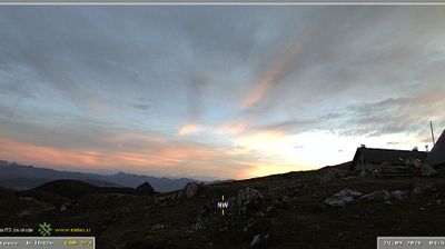
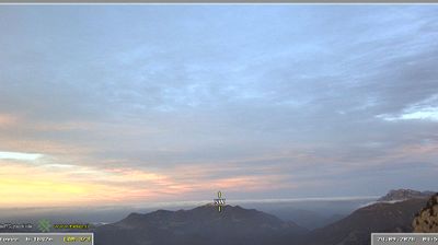


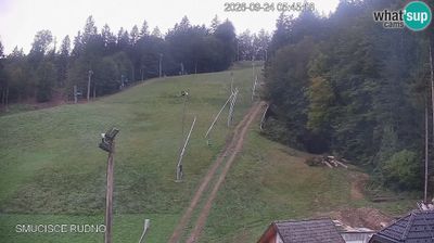
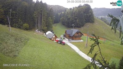
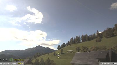
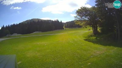

The landscape around Železniki is a narrow, wooded valley carved by the Selca Sora in the Škofja Loka Hills, which has shaped both the town’s linear form and its former ironworking economy. Set in Slovenia’s Upper Carniola region, the settlement grew around water-powered forges along the river. Ironmaking remains its defining historical thread, reflected in local heritage and in the town’s name, which refers to ironworkers. Roads and walking routes lead from the valley towards dispersed hamlets and forested uplands. Discover other points of interest through webcams located across the Selca Valley and Upper Carniola.
15 webcams
Slovenia occupies a meeting point of the Alps, the Pannonian Plain, the Dinaric mountains and the Adriatic coast in south-central Europe. The Julian Alps rise in the northwest, where Triglav is the country’s highest mountain, while the Soča River is known for its clear turquoise water. Karst terrain has shaped caves such as Postojna Cave and the Škocjan Caves, a UNESCO World Heritage site. Ljubljana combines a riverside old town with works by architect Jože Plečnik; farther east, wine-growing regions and thermal springs add another dimension. Slovenian food reflects Alpine, Mediterranean and Balkan influences. Find related webcams in the surrounding area to build a fuller picture of Slovenia and the northern Adriatic.
771 webcams