 Akrotiri: Therasia - Santorini - Oia Santorini
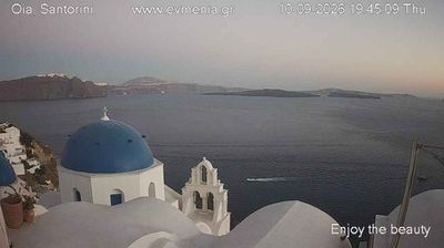
Among the islands of the Aegean, Santorini stands out for its volcanic caldera, a flooded basin shaped by repeated eruptions. Akrotiri occupies the island’s southern end above the caldera; its Bronze Age settlement, buried beneath volcanic ash, is among Greece’s most important archaeological sites. Across the water lies Therasia, a smaller inhabited island separated from Santorini by ancient volcanic activity. Oia, on Santorini’s northern tip, is known for closely built Cycladic houses, churches and lanes descending the caldera rim. Together, these places express the island’s defining terrain of dark volcanic earth, steep coastal cliffs and the Aegean Sea.
Generated by AI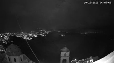
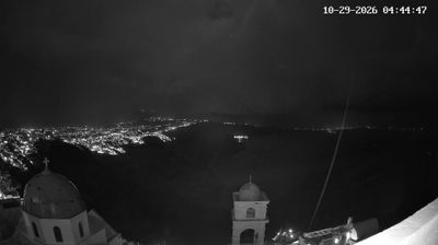
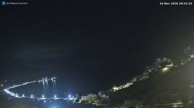

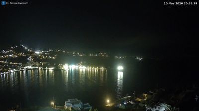

Built around the site of a Bronze Age settlement, Akrotiri grew into a small modern village on Santorini’s southwestern side. It faces the volcanic caldera, a vast sea-filled basin created by eruptions that shaped the island, while the open Aegean lies beyond the southern coast. The nearby archaeological site of Akrotiri preserves streets, multi-storey buildings and vivid wall paintings buried beneath volcanic ash, providing rare evidence of life in the prehistoric Aegean. Village lanes, churches and terraces retain the restrained white-and-blue character associated with the Cyclades. Move on to other webcams in the Cyclades to compare landscapes and settings around Santorini.
1 webcam
The terrain of the Aegean ranges from the dry, rock-fringed Cyclades in its central waters to wooded mountains along the northern Greek coast, giving this sea a distinctly island-shaped character. Near these coordinates lies Naxos, the largest of the Cyclades, where cultivated valleys and uplands meet sheltered coves and open water. Its main town, Chora, is marked by the Portara, the monumental marble doorway of an unfinished temple of Apollo. Ferries connect Naxos with neighbouring islands and mainland ports, while local traditions include potatoes, graviera cheese and Kitron, a citron liqueur. Continue through nearby webcams to explore different parts of the Aegean.
41 webcams
Greece occupies a mountainous peninsula and island-dotted coastline in southeastern Europe. The Aegean Sea shapes its eastern shore, while the Ionian Sea lies to the west; Crete is the country’s largest island. Athens is anchored by the Acropolis, where the Parthenon has stood since the fifth century BCE as a defining monument of classical antiquity. Beyond the capital, the Pindus Mountains run through the mainland, and Mount Olympus is associated in ancient Greek religion with the home of the gods. Greek food traditions centre on olive oil, seafood, cheeses and regional dishes, with long meals remaining an important part of social life. Continue through nearby webcams to explore the islands and mainland regions of Greece.
504 webcams