 Mount Pleasant: DE 896 @ RD 15
Mount Pleasant lies along the inland plain of the Delmarva Peninsula, where level fields, drainage ditches and woodlots shape northern Delaware’s rural terrain. The locality stands in agricultural country south of the Chesapeake and Delaware Canal, a waterway completed in 1829 that links the Delaware River with Chesapeake Bay. Broad divided roads cross working farmland, reflecting the area’s position between the Wilmington–Newark region and central Delaware. Farmsteads, crop fields and roadside tree belts give Mount Pleasant a lowland character, while nearby Middletown serves as the area’s principal commercial centre. It is a clear example of how quickly Delaware’s settled transport corridor gives way to open cultivated land.
Generated by AI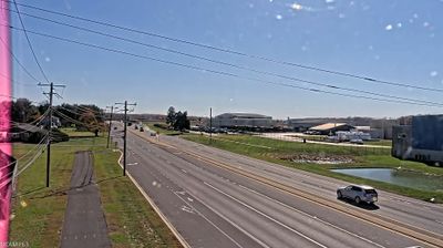

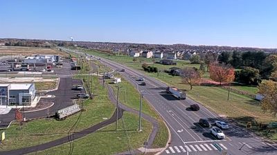

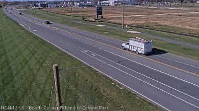

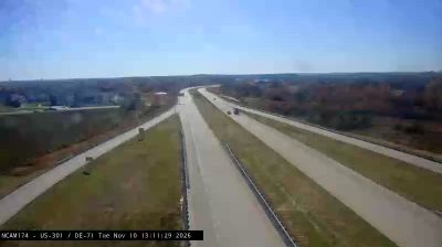
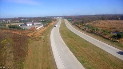
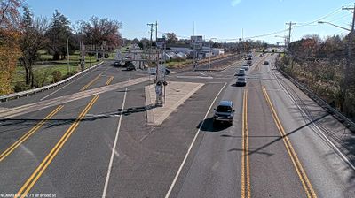


Mount Pleasant straddles the upper Appoquinimink River watershed in northern Delaware, where the flat Atlantic Coastal Plain has long supported a dispersed agricultural settlement pattern. This small New Castle County locality lies inland from Delaware Bay, between Middletown and the Chesapeake & Delaware Canal corridor. Its best-known historic landmark is Mount Pleasant, a brick house built around 1800 and listed on the National Register of Historic Places, recalling the area’s early rural architecture. Local roads connect the community with Middletown while retaining its countryside character. View additional webcams nearby to better understand how northern Delaware’s coastal plain relates to its surroundings.
1 webcam
Built around settlements and commerce on the Delaware River, Delaware grew into a compact Mid-Atlantic state. Its northern edge meets the river and Delaware Bay, while the south, including Sussex County near these coordinates, opens toward Atlantic beaches, salt marshes and low-lying farmland. Dover is the state capital; Wilmington, on the Christina River, is Delaware’s largest city and a long-standing industrial centre. Delaware was the first state to ratify the U.S. Constitution, on 7 December 1787, a distinction reflected in its “First State” nickname. Cape Henlopen, Lewes and Rehoboth Beach underline the importance of the coast to local life. Explore nearby webcam locations that provide complementary perspectives on Delaware’s coast, bay and inland communities.
374 webcams
The Atlantic, Pacific and Gulf coasts define much of the United States — their ports, fisheries and trade routes have long tied the country’s economy to the wider world. Between them, the Rocky Mountains, Great Plains and Mississippi River basin form sharply different regions, from high western ranges to broad agricultural heartlands. Cities carry much of the national story: New York’s Statue of Liberty, a gift from France dedicated in 1886, remains an enduring symbol, while Washington, DC concentrates major federal institutions. Indigenous nations have shaped these lands for millennia, and their living cultures remain essential to the country’s identity. Find related webcams in the surrounding areas to build a fuller picture of the United States.
32K webcams