 Mexicali
The landscape around Mexicali is flat and arid, which has shaped both the built environment and local life. Set in the Mexicali Valley of Baja California, near the Colorado River delta and the United States border, the city spreads across a broad agricultural plain rather than around a historic hill or coast. Mexicali is Baja California’s state capital and forms a cross-border urban pair with Calexico, California. Irrigated farming has long supported the valley, while busy avenues and commercial districts reflect its role as a regional administrative, industrial and transport centre. Its food culture is notably diverse, with a well-established Chinese-Mexican tradition tied to the city’s Chinese community.
Generated by AI

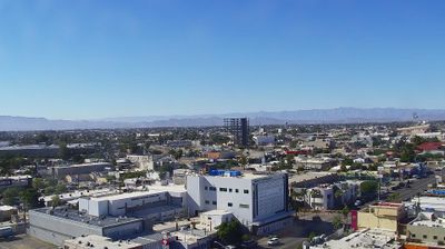

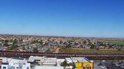
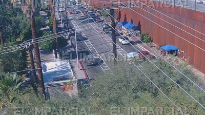
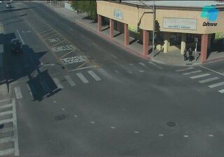


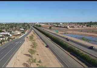

Set along the Mexico–United States border in the Mexicali Valley, Mexicali is a city whose character is shaped by desert heat and the irrigated agricultural plain of the Colorado River delta. As the capital of Baja California, it is a major administrative and commercial centre linked directly to Calexico, California, across the international boundary. Its broad street grid developed in a low, intensively cultivated borderland where summer temperatures are famously severe. Mexicali’s food culture carries a lasting Chinese influence, rooted in the community that settled here during the early 20th century; the historic La Chinesca district remains associated with that heritage. South of the city, the Cerro Prieto geothermal field reflects the region’s important geothermal resources. Explore nearby webcam locations that provide complementary perspectives on Mexicali and northern Baja California.
1 webcam
Baja California stretches from the United States border to the 28th parallel north, encompassing the arid northern half of the peninsula between the Pacific Ocean and the Gulf of California. Its terrain shifts from coastal plains and desert basins to the Sierra de San Pedro Mártir, where protected mountain country contrasts sharply with the dry interior. Tijuana and Mexicali anchor the state’s busy border economy, while Ensenada is a major Pacific port. Near Ensenada, the Valle de Guadalupe is Mexico’s best-known wine-producing area, and colonial-era mission sites recall the peninsula’s earlier settlement history. Browse related webcams across the peninsula to build a broader picture of Baja California.
8 webcams
Mexico is best known internationally for its ancient Maya and Aztec heritage. Its territory stretches between the Pacific Ocean, the Gulf of Mexico and the Caribbean Sea, with the Sierra Madre ranges shaping much of the country’s terrain. Chichén Itzá on the Yucatán Peninsula remains one of the most recognized Maya archaeological sites, while Mexico City stands on the site of Tenochtitlan, the former Aztec capital. Traditional Mexican cuisine, recognized by UNESCO, reflects regional ingredients such as maize, beans, chile and cacao. Move on to other webcams in the region to compare landscapes and settings around Mexico.
45 webcams