 Letellier
Tucked into the Red River Valley, Letellier is a place whose character is shaped by Manitoba’s broad, intensively cultivated prairie. The community lies beside Provincial Trunk Highway 75, the north–south route linking Winnipeg with the Pembina–Emerson border crossing and Interstate 29 in the United States. Flat fields, drainage ditches and long straight roads reflect the valley’s agricultural economy, based on fertile soils left by glacial Lake Agassiz. Letellier is part of the Rural Municipality of Montcalm in southern Manitoba, where farming communities and transport routes have long followed the low-lying Red River corridor. The nearby Red River remains central to the area’s geography.
Generated by AI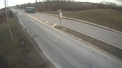
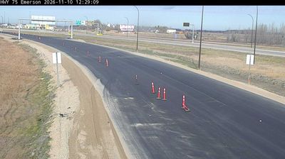
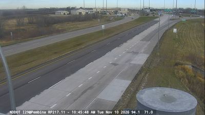

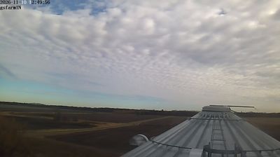

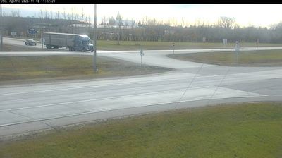
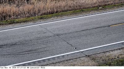

Letellier has served as an agricultural community in Manitoba’s Red River Valley since the late 19th century. Set close to the Red River and Highway 75, it occupies a level farming district between Winnipeg and the United States border. The fertile valley has long supported grain, oilseed and livestock production, giving the settlement a distinctly rural character. Letellier is part of the Rural Municipality of Montcalm, an area shaped by Franco-Manitoban settlement and bilingual local heritage. Explore additional webcams nearby to see how Letellier fits within the Red River Valley.
1 webcam
Manitoba occupies a broad central belt in Canada. Prairie farmland in the south gives way to boreal forest, the rocky Canadian Shield and a long Hudson Bay coast in the north. Lake Winnipeg, one of Canada’s largest freshwater lakes, is a defining feature, while major rivers including the Nelson drain toward Hudson Bay. Winnipeg, the provincial capital, stands at the meeting of the Red and Assiniboine rivers; The Forks there has long been an important gathering and trading place. Manitoba’s communities reflect enduring First Nations, Métis and Inuit connections alongside its settler history. View additional webcams nearby to better understand how Manitoba relates to the Canadian interior and Hudson Bay.
23 webcams
Canada has served as a frontier between French and British colonial powers since the 17th century. The world’s second-largest country extends from Atlantic shores to the Pacific and Arctic coasts, with the Canadian Shield, the Rocky Mountains, the Great Lakes and the St. Lawrence River shaping its vast geography. First Nations, Inuit and Métis peoples are central to Canada’s identity, while Ottawa’s Parliament Hill represents its federal political life. French remains the official language of Quebec, adding a distinct dimension to the country’s public culture. See how Canada connects across North America by browsing webcams in neighbouring regions.
3.5K webcams