 West Hawk Lake
 combines Canadian Shield solitude with the through-traffic of the Trans-Canada Highway, reflecting its position in eastern Manitoba’s Whiteshell Provincial Park. The lake occupies a meteorite-impact basin amid granite outcrops, conifer forest and the many waters of the Shield. Highway 1 passes close to the community on the major east–west route linking Winnipeg with northwestern Ontario. West Hawk Lake provides accommodation and services for people using the park, whose terrain supports boating, fishing and backcountry travel. Its impact origin gives this forested lakeside settlement a geological identity distinct from most Manitoba lake communities.
Generated by AI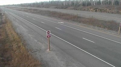
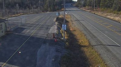

Tucked into the Canadian Shield within Manitoba’s Whiteshell Provincial Park, West Hawk Lake is a place whose character is shaped by a meteorite impact crater. The lake reaches 115 metres at its deepest point, making it Manitoba’s deepest, and its steep, rock-lined basin is surrounded by boreal forest. The Trans-Canada Highway runs past the lake, linking this recreation stop with Winnipeg and northwestern Ontario. Its clear water and depth make boating, swimming and scuba diving central to summer here. Established in 1961, Whiteshell Provincial Park protects lakes, forest and exposed Precambrian rock. Explore nearby webcam locations that provide complementary perspectives on West Hawk Lake and eastern Manitoba.
1 webcam
Manitoba occupies a broad central belt in Canada. Prairie farmland in the south gives way to boreal forest, the rocky Canadian Shield and a long Hudson Bay coast in the north. Lake Winnipeg, one of Canada’s largest freshwater lakes, is a defining feature, while major rivers including the Nelson drain toward Hudson Bay. Winnipeg, the provincial capital, stands at the meeting of the Red and Assiniboine rivers; The Forks there has long been an important gathering and trading place. Manitoba’s communities reflect enduring First Nations, Métis and Inuit connections alongside its settler history. View additional webcams nearby to better understand how Manitoba relates to the Canadian interior and Hudson Bay.
23 webcams
Canada has served as a frontier between French and British colonial powers since the 17th century. The world’s second-largest country extends from Atlantic shores to the Pacific and Arctic coasts, with the Canadian Shield, the Rocky Mountains, the Great Lakes and the St. Lawrence River shaping its vast geography. First Nations, Inuit and Métis peoples are central to Canada’s identity, while Ottawa’s Parliament Hill represents its federal political life. French remains the official language of Quebec, adding a distinct dimension to the country’s public culture. See how Canada connects across North America by browsing webcams in neighbouring regions.
3.5K webcams