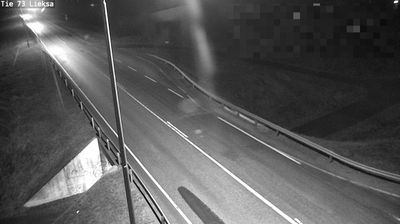
 Lieksa: Tie 73 - Kyyrönlampi - Joensuuhun
Kyyrönlampi occupies a forested roadside area in the municipality of Lieksa in eastern Finland. This is a land of conifer and birch woodland, where a two-lane road runs through the broad, lightly settled terrain of North Karelia. Lieksa municipality reaches the shores of Lake Pielinen, one of Finland’s largest lakes, and extends east towards the Finnish–Russian border. The town of Lieksa lies at the northern end of Pielinen, while the surrounding municipality is threaded with lakes, peatlands and managed forest. Its Pielinen Museum preserves historic buildings and records the rural life and Karelian traditions of the region. Kyyrönlampi represents the everyday road landscape behind that cultural and lake-country identity.
Generated by AI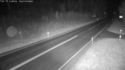

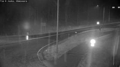
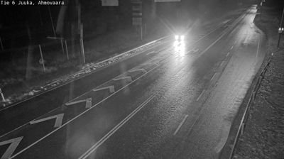
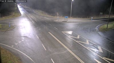
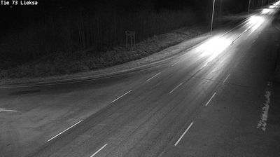

Built around the Lieksanjoki River’s outlet into Lake Pielinen, Lieksa grew into a regional centre of North Karelia in eastern Finland. Water and forest define its setting: Lake Pielinen, among Finland’s largest lakes, stretches south from town, while broad woodland reaches towards the Russian border. The Pielinen Museum preserves farmhouses, storehouses and other historic buildings from the Pielinen Karelia area, introducing the region’s vernacular traditions. Lieksa is also a practical base for Ruunaa’s rapids and trails along the Lieksanjoki, and for Patvinsuo National Park’s mires and old-growth forests. Discover other points of interest through webcams located across North Karelia.
11 webcams
Built around Lake Pielinen’s waterways, forest resources and eastern trade connections, North Karelia grew into a Finnish region with a strong Karelian identity. Its administrative centre, Joensuu, stands where the Pielisjoki River meets Lake Pyhäselkä; founded in 1848, the city remains the area’s principal urban hub. Farther north, Koli National Park rises above Pielinen and is associated with some of Finland’s best-known national landscapes. Forests, lakes and long distances define much of the region, while Karelian food, music and Orthodox traditions give it a cultural character distinct within Finland. View additional webcams nearby to better understand how North Karelia relates to eastern Finland and the Russian borderlands.
97 webcams
The terrain of Finland ranges from low coastal plains along the Gulf of Bothnia to fells in Lapland, creating a country of forests, lakes and long northern distances. More than 180,000 lakes shape everyday life, while the Lakeland region is threaded with waterways and islands. Helsinki, on the Gulf of Finland, combines neoclassical landmarks around Senate Square with contemporary Finnish design. Farther north, the Sámi are Finland’s only recognised Indigenous people, and their culture remains closely connected to the Arctic region. In winter, snow and ice transform the north; in summer, long daylight extends outdoor life well into the evening. Continue through nearby webcams to explore different parts of Finland.
1.7K webcams