 Kaipātiki
 stretches along the northern shore of Waitematā Harbour in Auckland, and its waterside position has shaped a network of residential neighbourhoods, coastal reserves and small boating bays. Beach Haven occupies part of this harbour edge, where homes and local streets meet sheltered inlets; Birkenhead and Northcote lie nearby on Auckland’s North Shore. Although much of Kaipātiki is urban, the harbour remains its defining feature, used by small craft and bordered by low, settled shorelines. The Māori name Kaipātiki recalls an older connection to food gathering: kai means food and pātiki refers to flounder. In Birkenhead, the Chelsea Sugar Refinery, established in the 19th century, remains one of Auckland’s longstanding industrial landmarks. Coastal parks and walking routes add a quieter counterpoint to the wider city across the water.
Generated by AI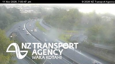

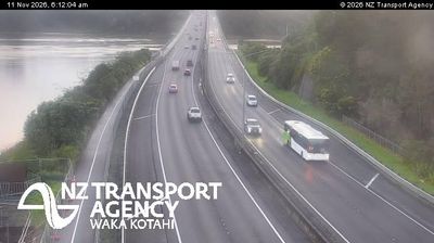
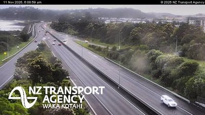
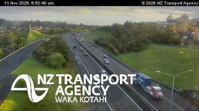



Tucked along the northern reaches of Waitematā Harbour, Kaipātiki is a place whose character is shaped by steep, creek-cut ground and its close connection to Auckland’s urban core. This part of the North Shore moves between established residential streets, small reserves and harbour inlets rather than the high-rise centre across the water. Le Roys Bush Reserve protects a notable remnant of native forest, with tracks through its wooded gullies. On the waterfront at nearby Birkenhead, the Chelsea Sugar Refinery, established in 1884, remains an enduring industrial landmark. Kaipātiki forms part of an Auckland local-board area where harbour-edge neighbourhoods meet green spaces. Move on to other webcams in the Auckland region to compare harbour shorelines and urban settings around Tāmaki Makaurau.
2 webcams
Among New Zealand’s regions, Auckland stands out for its urban setting between two harbours and the islands of the Hauraki Gulf. The region occupies a narrow isthmus, with Waitematā Harbour opening towards the Pacific and Manukau Harbour reaching the Tasman Sea. More than 50 volcanic cones and craters form the Auckland volcanic field; Maungawhau / Mount Eden is among its most recognisable landmarks. Auckland is also New Zealand’s largest city and a major centre of Māori and Pacific communities, reflected in its food, arts and public life. Continue to other webcams in the region to compare coastal, harbour and city settings around Auckland.
128 webcams
New Zealand combines Pacific isolation with strong ties to the wider South Pacific in a way that reflects its position between the Tasman Sea and the open Pacific Ocean. The country’s two main islands are divided by Cook Strait, while the Southern Alps run along much of the South Island and include Aoraki / Mount Cook, its highest mountain. On the North Island, volcanic terrain shapes Tongariro National Park and the central plateau; long coastlines frame cities such as Auckland and Wellington. Māori culture is central to national life, and the Treaty of Waitangi, first signed in 1840, remains a foundational document in relations between Māori and the Crown. See how New Zealand fits within the wider South Pacific by browsing webcams nearby.
495 webcams