 Terre Haute: Rest Area: I-35 N/S MM 7 - Lamoni - NB Exit - Northwest
Terre Haute occupies a rolling, wooded stretch of farmland in Decatur County, southern Iowa. Its fields, tree lines and small wooded hollows belong to the Southern Iowa Drift Plain, a region of gentler but more varied terrain than much of the state’s northern interior. Interstate 35 passes through this rural corridor, linking Iowa with Missouri and the wider Midwest. Nearby Lamoni provides an important cultural connection as the home of Graceland University and a long-established centre of the Community of Christ. Around Terre Haute, farmsteads, highway traffic and woodland margins define a working agricultural landscape.
Generated by AI

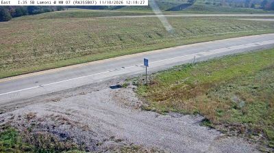
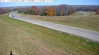
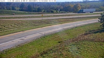
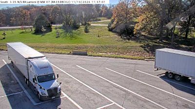

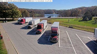
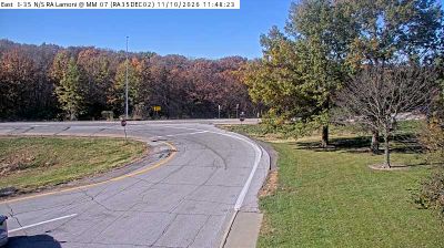
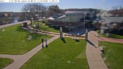

Among the small communities of southern Iowa, Terre Haute stands out for its French-derived name, meaning “high ground.” Located in Decatur County, it belongs to Iowa’s rolling agricultural interior, a region of fields, woodlots and widely spaced rural settlements. The name recalls the French influence visible in place names across the wider Midwest, while the community itself reflects the quiet, practical character of the state’s countryside. Terre Haute is best appreciated as part of the rural fabric beyond Iowa’s larger towns. Continue through nearby webcams to explore different parts of Decatur County.
10 webcams
Iowa combines broad agricultural openness with wooded river corridors in a way that reflects its position within the American Midwest. The Mississippi River forms much of the eastern border, while the Missouri River marks the west; between them, rolling prairie, farmland, and smaller waterways shape the state’s largely rural character. Des Moines, the capital, is Iowa’s main urban centre and hosts the annual Iowa State Fair, an institution closely associated with the state’s farming traditions. The Loess Hills along the western edge add a distinct landform to this predominantly lowland state. Browse additional webcams from the surrounding area to extend your view of Iowa.
1.1K webcams
The Atlantic, Pacific and Gulf coasts define much of the United States — their ports, fisheries and trade routes have long tied the country’s economy to the wider world. Between them, the Rocky Mountains, Great Plains and Mississippi River basin form sharply different regions, from high western ranges to broad agricultural heartlands. Cities carry much of the national story: New York’s Statue of Liberty, a gift from France dedicated in 1886, remains an enduring symbol, while Washington, DC concentrates major federal institutions. Indigenous nations have shaped these lands for millennia, and their living cultures remain essential to the country’s identity. Find related webcams in the surrounding areas to build a fuller picture of the United States.
32K webcams