 Triengen
Few places in the Lucerne countryside have a history as closely tied to farming in the Suhre valley as Triengen. The municipality stands in the Suhrental, where the Suhre flows north from Lake Sempach towards the Aare, with fields, woodland and scattered settlements extending over the slopes. Triengen is also home to Flugplatz Triengen, a small general-aviation airfield that brings an aviation tradition to this agricultural setting. Its Oldtimer-Fliegertreffen is a gathering for historic-aircraft enthusiasts. The parish church of St Laurentius anchors the village centre and reflects the Catholic heritage of this part of canton Lucerne.
Generated by AI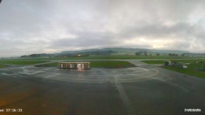
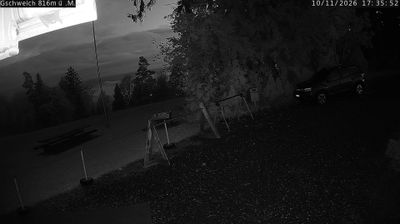
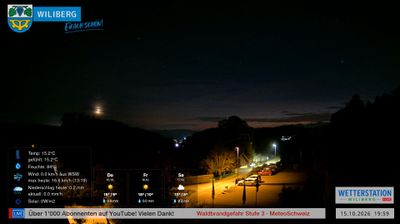
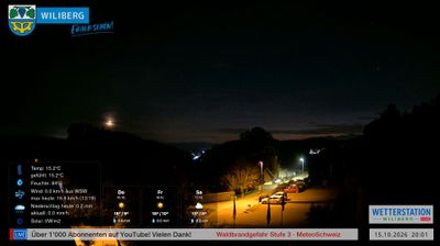
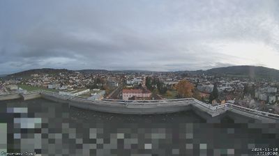
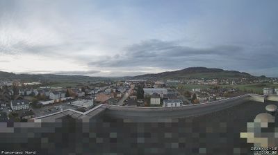
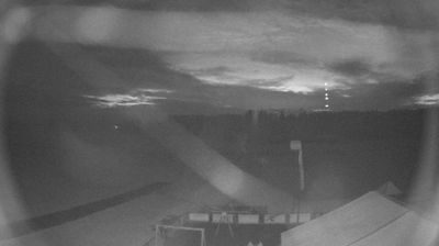

Triengen lies along the Suhre in the Suhrental, where cultivated fields and low hills of the Swiss Plateau shape its surroundings. This municipality in the canton of Lucerne sits between Sursee and the Aargau border, in a region defined more by farming settlements than urban density. The Sursee–Triengen Railway is a notable part of local transport heritage, with its line to Sursee used for occasional heritage journeys. Triengen also incorporates the former municipalities of Kulmerau, Wilihof and Winikon, which joined it in 2005. Continue through nearby webcams to explore different parts of Triengen and the Lucerne countryside.
3 webcams
Luzern is best known within Switzerland for Lake Lucerne, where the Swiss Plateau meets the foothills of the Alps. The canton extends from settled farmland and rolling hills into the Prealpine landscapes of Entlebuch, a UNESCO Biosphere Reserve known for its moorlands and traditional rural scenery. In the city of Lucerne, the Reuss flows out of the lake beside the Kapellbrücke, the covered wooden bridge that has become one of Switzerland’s most recognisable landmarks. Rail and road routes have long made this central region an important link between northern Switzerland and Alpine passes. Continue with other webcams from the area to see how this part of central Switzerland connects regionally.
42 webcams
Switzerland stretches from the Jura Mountains in the northwest to the Alps in the south, encompassing a central plateau of cities, farms and lakes. The Rhine rises in the Swiss Alps, while Lake Geneva forms part of the country’s southwestern border. Zürich, Geneva and Basel are major urban centres, yet mountain railways and passes remain central to how many regions are experienced. Four national languages—German, French, Italian and Romansh—reflect Switzerland’s distinct cantonal identities. The Matterhorn above Zermatt is among Europe’s most recognisable peaks, and the 1291 Federal Charter is closely associated with the country’s founding tradition. Continue through nearby webcams to explore different parts of Switzerland.
1.5K webcams