 Dexter by the Sea: SR105 at MP 20: Graveyard Spit
Graveyard Spit runs along the Pacific coastline in southwest Washington, where the exposed shore has shaped State Route 105 into a closely protected coastal link. Near Dexter by the Sea, the road traces a narrow margin of beach, rock revetment and wooded land near the entrance to Willapa Bay. This is a working piece of coastal infrastructure rather than a resort promenade: the highway connects small communities on the bay and outer coast, while the engineered shoreline reflects the practical challenge of holding a road beside an active ocean shore. The setting suits travellers drawn to Washington’s low-built coast and the scale of its shoreline engineering.
Generated by AI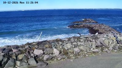
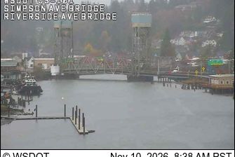
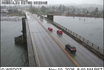
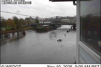
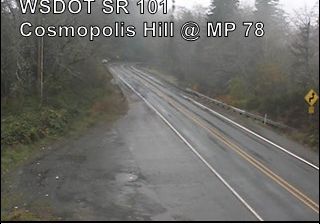


Tucked along the western shore of Willapa Bay on Washington’s southwest coast, Dexter by the Sea is a small community whose character is shaped by broad tidal flats and changing Pacific weather. This is estuary country: channels, salt marshes and shallow water connect the settlement to one of the state’s major shellfish-growing areas. Oyster cultivation has long been central to life around Willapa Bay, giving the wider coast an identity distinct from Washington’s urban Puget Sound. Nearby shorelines and open-water approaches underline how closely local routines follow the tides. Find related webcams around Willapa Bay and southwest Washington to build a fuller picture of this tidal coast.
1 webcam
Washington’s terrain runs from Pacific coastal lowlands in the west to the dry Columbia Plateau in the east, with the Cascade Range creating a marked climatic divide. Central Washington lies on the plateau side of the Cascades, where the Columbia River has cut broad valleys and irrigation supports orchards and vineyards. The state also includes Puget Sound, the intricate marine inlet around Seattle, and the volcanic cone of Mount Rainier. Seattle’s Space Needle, built for the 1962 World’s Fair, remains one of its most recognisable landmarks. Move on to other webcams in the region to compare landscapes and settings around Washington.
1.5K webcams
The Atlantic, Pacific and Gulf coasts define much of the United States — their ports, fisheries and trade routes have long tied the country’s economy to the wider world. Between them, the Rocky Mountains, Great Plains and Mississippi River basin form sharply different regions, from high western ranges to broad agricultural heartlands. Cities carry much of the national story: New York’s Statue of Liberty, a gift from France dedicated in 1886, remains an enduring symbol, while Washington, DC concentrates major federal institutions. Indigenous nations have shaped these lands for millennia, and their living cultures remain essential to the country’s identity. Find related webcams in the surrounding areas to build a fuller picture of the United States.
32K webcams