 Rokytnice nad Jizerou
 sits in the western Krkonoše Mountains in Czechia, where wooded ridges and open mountain meadows surround a spread-out settlement. The town ranks among the country’s best-known mountain resorts, with ski slopes and lift infrastructure extending across the hills above its built-up centre. Its name refers to the Jizera, the river that flows through the wider valley below. Higher ground around the town forms part of Krkonoše National Park, whose trails and cross-country routes continue along the surrounding ridges. Traditional timber cottages remain part of the local architectural character, alongside hotels, guesthouses and sports facilities shaped by the area’s long role in Czech mountain tourism.
Generated by AI
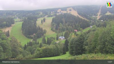
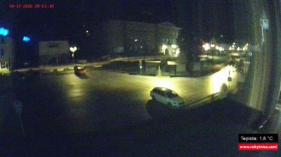

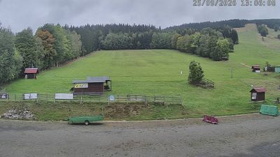




Rokytnice nad Jizerou combines the activity of a major Krkonoše ski resort with the dispersed character of a mountain valley, reflecting its position in the western Giant Mountains. The town is associated with the Jizera River and includes several historic mountain settlements, among them Horní and Dolní Rokytnice. Horní Domky is its principal ski area, with lifts reaching the slopes beneath Lysá hora; in warmer months, this terrain links to walking and cycling routes in Krkonoše National Park. The Church of St Michael the Archangel remains an established local landmark. View additional webcams nearby to better understand how Rokytnice nad Jizerou relates to the western Krkonoše.
8 webcams
Liberec Region is best known in Czechia for Ještěd, the mountain above Liberec crowned by its unmistakable hotel and television tower. In the country’s north, the region reaches from the Jizera Mountains towards the Krkonoše and Lusatian Mountains, while the Nisa River runs through Liberec and continues north into Poland and Germany. Liberec, the regional capital, developed as an important textile-manufacturing centre; its 19th-century Town Hall remains one of the city’s defining buildings. Borderland geography gives the area a distinctly Central European character, with mountain resorts, forest roads and historic towns close together. Browse additional webcams from the surrounding area to extend your view of Liberec Region.
112 webcams
The terrain of Czechia ranges from fertile lowlands in southern Moravia to mountain ridges along the northern frontier, giving this Central European country a distinctly varied geography. The Vltava runs through Prague before joining the Elbe, while the Krkonoše form part of the border with Poland and include Sněžka, Czechia’s highest mountain. Prague’s historic centre, with Prague Castle and Charles Bridge, reflects the city’s long role as a political and cultural centre. Beyond the capital, Bohemia is known for spa towns and brewing, and Moravia for wine-growing traditions. View additional webcams nearby to better understand how Czechia relates to its Central European surroundings.
1.4K webcams