 Ualand
Dalane’s rolling, rocky uplands define the setting of Ualand — pastureland, exposed stone and scattered farm buildings shape this rural stretch of Rogaland. The settlement lies beside the E39, Norway’s principal north–south road route, where engineered cuttings and roadside barriers mark a modern transport corridor through working farmland. Ualand is on the inland side of southern Rogaland, away from the larger coastal towns, and its built form remains low and dispersed. Farming is central to the local landscape, with fields extending between rocky slopes and small clusters of homes. For travellers between Kristiansand and Stavanger, the area gives a direct impression of the road-and-farm country connecting the two urban regions.
Generated by AI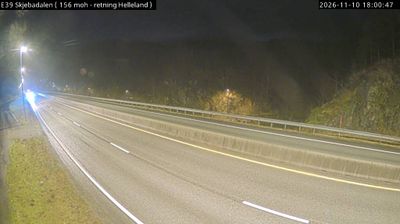
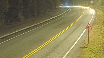
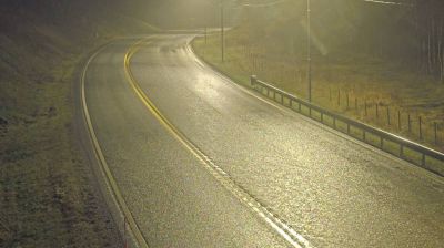
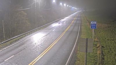

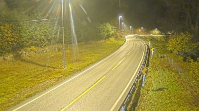

Ualand lies between the North Sea and the low Jæren plain in Rogaland, a coastal setting that has shaped it as part of southwestern Norway’s open farming country. This stretch of coast differs from the deep-fjord scenery often associated with the county: broad fields, exposed shorelines and Atlantic weather define the terrain. Jæren is one of Norway’s most important agricultural districts, with working farms forming a long-established part of its identity. The North Sea is never far away, bringing a sense of space and changing light to the surrounding countryside. Explore nearby webcam locations that provide complementary perspectives on the Jæren coast and Rogaland.
1 webcam
Built around North Sea ports and the fertile farmland of Jæren, Rogaland grew into one of Norway’s leading maritime and energy regions. Stavanger, its largest city, is closely associated with the country’s offshore petroleum industry and preserves the 12th-century Stavanger Cathedral at its centre. The coast shifts from the long, open beaches of Jæren to islands and sheltered sounds, while Lysefjord cuts deep into the mountains farther east. Preikestolen, the celebrated rock plateau above the fjord, is among the area’s best-known landmarks. Continue with other webcams from the area to see how this part of southwestern Norway connects regionally.
89 webcams
Norway has served as a seafaring link between the North Atlantic and northern Europe since the Viking Age. Its long coastline is cut by fjords, while the Lofoten archipelago rises sharply from the Norwegian Sea and the mountains of Jotunheimen include Galdhøpiggen, Norway’s highest peak. Bergen’s Bryggen, the former Hanseatic wharf, recalls centuries of maritime trade. Farther north, Sámi culture remains an essential part of the country’s identity. Explore nearby webcam locations that provide complementary perspectives on Norway’s coast, fjords and mountain regions.
1.5K webcams