 Brennfjell Leir: Lullemoen
Built around a military camp beside the E8, Brennfjell Leir grew into a small roadside locality in Storfjord municipality. It lies in the forested Skibotndalen, where the valley route follows the Skibotnelva inland from the Lyngenfjord area toward Finland. The E8 is the principal international road through this part of northern Norway, connecting Tromsø with the Finnish border via Skibotn. Low wooded slopes and open roadside ground give the area a distinctly interior character, away from the coastal settlements. Storfjord belongs to a borderland shaped by Norwegian, Sámi and Kven traditions; Skibotn has long been an important meeting place for these communities. Brennfjell Leir is a practical marker on one of the far north’s key overland corridors.
Generated by AI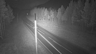
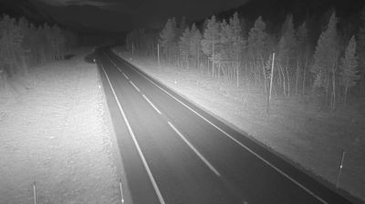
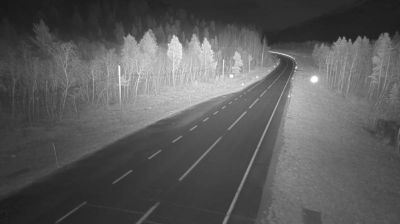
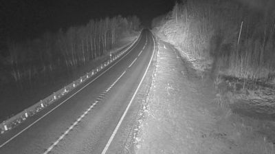
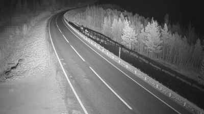
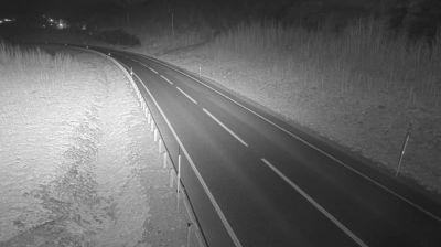
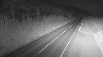
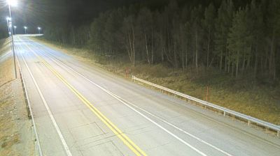
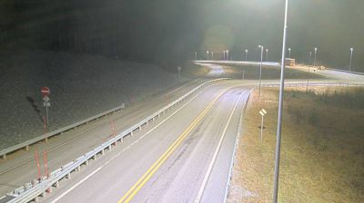

Skibotndalen defines the setting of Brennfjell Leir — this long inland valley carries the E8 through a broad, mountain-rimmed corridor towards the Finnish border. Far from Norway’s major coastal towns, the area follows the pronounced seasonal rhythm of the Arctic, from summer’s midnight sun to winter darkness. Brennfjell Leir is in Storfjord municipality, where Sámi, Kven and Norwegian cultural traditions meet. Browse other webcams across Troms og Finnmark to place this valley setting in a wider geographic context.
2 webcams
Troms occupies a mountainous Arctic coastal and inland area in northern Norway, well above the Arctic Circle. Deep fjords cut into a terrain of islands, broad valleys and rugged high ground, while the Lyngen Alps rise beside Lyngenfjord in the east of the region. Tromsø, the largest city in northern Norway, is an important centre for Arctic research, education and culture. Sámi heritage is also an essential part of Troms, reflected in place names, reindeer husbandry and living traditions across the north. Explore additional webcams nearby to understand how Troms connects with northern Norway’s fjords, mountains and islands.
96 webcams
Norway has served as a seafaring link between the North Atlantic and northern Europe since the Viking Age. Its long coastline is cut by fjords, while the Lofoten archipelago rises sharply from the Norwegian Sea and the mountains of Jotunheimen include Galdhøpiggen, Norway’s highest peak. Bergen’s Bryggen, the former Hanseatic wharf, recalls centuries of maritime trade. Farther north, Sámi culture remains an essential part of the country’s identity. Explore nearby webcam locations that provide complementary perspectives on Norway’s coast, fjords and mountain regions.
1.5K webcams