 Sørreisa - Orjješ-Ráisa: Andsvatnet
Sørreisa has served as a local administrative centre in Troms since the late 19th century. The municipality was established in 1886 and its main settlement occupies a fjord-side position in northern Norway. Inland, county road Fv86 passes through the area around Lake Andsvatnet, where birch woodland, conifers and small clearings shape a low, gently rolling terrain. This setting differs from the steep coastal mountains often associated with Troms, with transport routes, scattered homes and managed open land woven into the forest. Sørreisa links this inland country with the fjord communities of southern Troms and remains a practical local centre for the surrounding rural district.
Generated by AI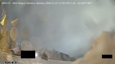


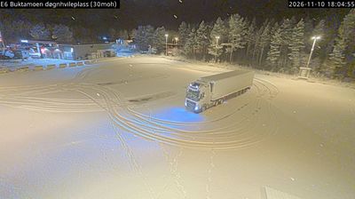

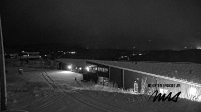
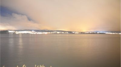
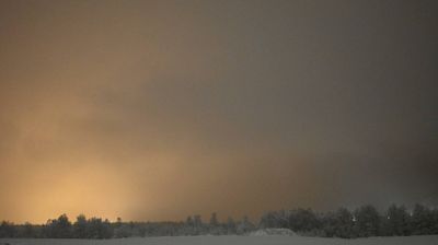

Sørreisa balances a settled fjord shoreline with a far-northern setting, reflecting its position along Sørreisafjorden in Troms. The community is the administrative centre of Sørreisa municipality, on the mainland in an area where fjords meet woodland and inland valleys. Sørreisa Church, a white wooden church built in 1862, provides a link to the district’s nineteenth-century development. Seasonal light shapes daily life here: long summer days give way to the dark winter period, a defining rhythm across northern Norway. Discover other points of interest through webcams located across Sørreisa and Troms.
1 webcam
Troms occupies a mountainous Arctic coastal and inland area in northern Norway, well above the Arctic Circle. Deep fjords cut into a terrain of islands, broad valleys and rugged high ground, while the Lyngen Alps rise beside Lyngenfjord in the east of the region. Tromsø, the largest city in northern Norway, is an important centre for Arctic research, education and culture. Sámi heritage is also an essential part of Troms, reflected in place names, reindeer husbandry and living traditions across the north. Explore additional webcams nearby to understand how Troms connects with northern Norway’s fjords, mountains and islands.
96 webcams
Norway has served as a seafaring link between the North Atlantic and northern Europe since the Viking Age. Its long coastline is cut by fjords, while the Lofoten archipelago rises sharply from the Norwegian Sea and the mountains of Jotunheimen include Galdhøpiggen, Norway’s highest peak. Bergen’s Bryggen, the former Hanseatic wharf, recalls centuries of maritime trade. Farther north, Sámi culture remains an essential part of the country’s identity. Explore nearby webcam locations that provide complementary perspectives on Norway’s coast, fjords and mountain regions.
1.5K webcams