 Valvatna: Stordabrua
The landscape around Valvatna is shaped by rocky, sea-cut islands and narrow sounds, which has shaped both the built environment and local life. This coastal locality lies on Stord in Vestland, part of the island-strewn district of Sunnhordland. The E39 crosses nearby on Stord Bridge (Stordabrua), a suspension bridge over Digernessundet between Stord and Føyno. Opened in 2001, it forms a key section of the Triangle Link, the road system that connected Stord and Bømlo with the mainland by bridges and the Bømlafjord Tunnel. The bridge’s long deck and exposed waterway express the working scale of Norway’s west-coast transport network, while the shores retain the low, rocky profile typical of this part of the North Sea coast.
Generated by AI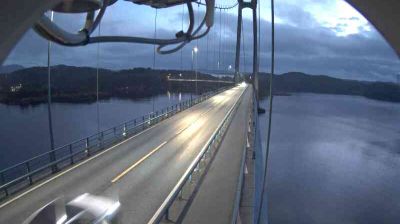


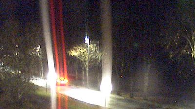
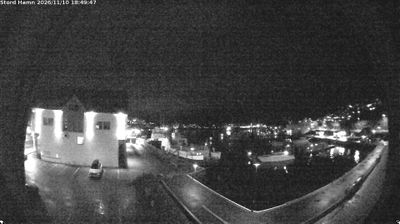
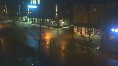
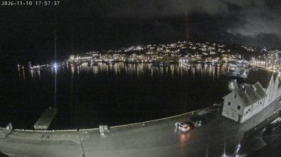

Valvatna spans gently rolling terrain on the island of Stord in Vestland, a position between wooded uplands and an indented coast that has linked local settlements with the wider Sunnhordland district. Stord lies between Hardangerfjorden to the north and Bømlafjorden to the south, with ferries, bridges and tunnels connecting its communities across the surrounding waterways. Shipbuilding at Eldøyane has been a defining part of Stord’s modern history, alongside Leirvik’s role as the island’s principal urban centre. Continue through nearby webcams to explore different parts of Stord and Vestland.
2 webcams
Among the regions of Norway, Vestland stands out for fjords that cut deep into a coast backed by high mountains. Sognefjord, Norway’s longest and deepest fjord, reaches far inland, while Hardangerfjord is closely associated with orchards and spring blossom. The county extends from wave-battered islands and sheltered coastal communities to valleys, waterfalls and upland terrain. Bergen, Vestland’s largest city, developed as a Hanseatic trading centre; its wooden Bryggen wharf is a UNESCO World Heritage site. Maritime life, mountain routes and farming communities meet here. Browse other webcams across Vestland to place this fjord country in a wider geographic context.
234 webcams
Norway has served as a seafaring link between the North Atlantic and northern Europe since the Viking Age. Its long coastline is cut by fjords, while the Lofoten archipelago rises sharply from the Norwegian Sea and the mountains of Jotunheimen include Galdhøpiggen, Norway’s highest peak. Bergen’s Bryggen, the former Hanseatic wharf, recalls centuries of maritime trade. Farther north, Sámi culture remains an essential part of the country’s identity. Explore nearby webcam locations that provide complementary perspectives on Norway’s coast, fjords and mountain regions.
1.5K webcams