 Hammerfest: Skjåholmen
Hammerfest straddles the meeting of Kvaløya’s coastal slopes and Sørøysundet in Troms og Finnmark, a position that has made maritime links central to its development. RV94 provides the principal road connection from this island community towards the mainland. Granted town status in 1789, Hammerfest developed through fishing and Arctic trade and is now also associated with energy industry at Melkøya. At Fuglenes, a survey point forms part of the Struve Geodetic Arc, the 19th-century measurement network inscribed on UNESCO’s World Heritage List. Open, rocky ground and sparse roadside development mark the transition between the compact town and the wider Finnmark coast.
Generated by AI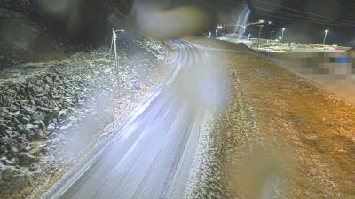
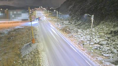


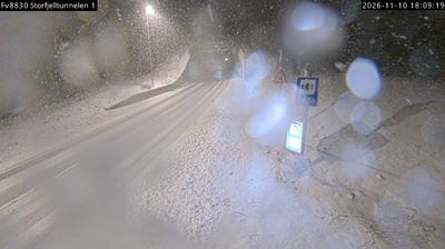
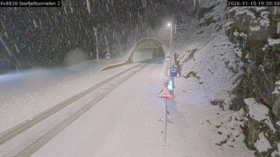


Hammerfest’s surrounding terrain is an Arctic shoreline of islands, rocky slopes and sparse vegetation, which has shaped both the compact urban form and the local economy. Set on Kvaløya beside the Sørøysundet strait, the town belongs to a coast where fishing has long been important and energy now has a major presence. On nearby Melkøya, the Snøhvit facility processes natural gas into LNG, linking the community to Barents Sea development. Hammerfest was largely burned during the German retreat in 1944 and rebuilt after the Second World War, a history reflected in its postwar townscape. Discover other points of interest through webcams located across Troms og Finnmark.
1 webcam
Finnmark is best known within Norway for the North Cape, the dramatic headland on Magerøya facing the Barents Sea. Norway’s northernmost county stretches across an Arctic coast of islands, fjords and exposed tundra, with long distances between its settlements. The region is central to Sámi culture: Karasjok is home to the Sámi Parliament of Norway, while reindeer husbandry remains important across the interior. Fishing has long shaped coastal communities, and the waters of the Barents Sea support a major maritime economy. View additional webcams nearby to better understand how Finnmark relates to its Arctic surroundings.
52 webcams
Norway has served as a seafaring link between the North Atlantic and northern Europe since the Viking Age. Its long coastline is cut by fjords, while the Lofoten archipelago rises sharply from the Norwegian Sea and the mountains of Jotunheimen include Galdhøpiggen, Norway’s highest peak. Bergen’s Bryggen, the former Hanseatic wharf, recalls centuries of maritime trade. Farther north, Sámi culture remains an essential part of the country’s identity. Explore nearby webcam locations that provide complementary perspectives on Norway’s coast, fjords and mountain regions.
1.5K webcams