 District of Košice - okolie
The Hornád River defines the setting of Kysak — its narrow valley gathers the village, broad rail yards and wooded foothills of the Čierna hora Mountains into a compact northern approach to Košice. Kysak is one of eastern Slovakia’s important railway junctions: the main Žilina–Košice line meets the route towards Prešov and Plaveč here, linking the country’s east-west rail spine with the Šariš region. Nineteenth-century railway development gave this small municipality a role far beyond its size. Homes and gardens occupy the lower valley slopes, while forested ridges mark the meeting point of the Košice Basin and the Slovak Ore Mountains.
Generated by AI
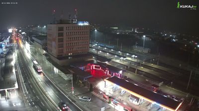
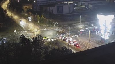

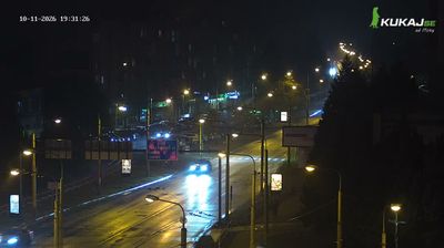


The landscape around the District of Košice-okolie is a gently rolling part of the Košice Basin below the Slovak Ore Mountains, which has shaped both the settlement pattern and local agriculture. The Hornád River runs through the basin to the east, while wooded slopes rise toward the mountain country west of Košice. This largely rural district surrounds Slovakia’s second-largest city and links small municipalities with the region’s urban, industrial and transport centre. Nearby Košice is known for the Gothic St. Elisabeth Cathedral and its long-established historic core. Discover how this district connects with eastern Slovakia by browsing nearby webcams.
2 webcams
The Region of Košice combines the urban energy of Slovakia’s second-largest city with the broad, quieter landscapes of the east in a way that reflects its position between the Slovak Ore Mountains and the lowlands near Hungary. Košice is centred on Hlavná ulica, where St Elisabeth Cathedral forms the Gothic focal point of the historic core. Beyond the city, the Hornád River crosses a region of wooded hills, farmland and karst terrain. Slovak Karst National Park, known for its extensive cave systems, adds a distinct geological dimension to this corner of Slovakia. Browse additional webcams from the surrounding area to extend your view of eastern Slovakia.
26 webcams
Slovakia is best known internationally for the High Tatras, whose granite summits form the country’s most celebrated mountain landscape. Gerlachovský štít, at 2,655 metres, is the highest peak in Slovakia and in the Carpathians. The Danube runs past Bratislava, where Bratislava Castle stands on a hill above the river, linking the capital to Central Europe’s major waterway. Beyond the cities, forests, karst terrain and small historic towns define much of the country. Slovakia’s long folk tradition is also represented by the fujara, a large shepherd’s flute recognised by UNESCO. Browse additional webcams from the surrounding area to extend your view of the High Tatras and the Danube region.
282 webcams