 Home Hill
Among the places of Queensland, Home Hill stands out for its place in the Burdekin's cane-growing country. The town stands on the southern side of the Burdekin River, amid a broad alluvial plain where irrigated sugar cane is the defining land use. East of Home Hill, the Bruce Highway passes Yellow Gin Creek through fields and open country, with low ranges shaping the distance. Sugar production has long underpinned the district's economy. Home Hill's Harvest Festival is a local celebration of the cane harvest, bringing that agricultural identity into the town centre. This is a practical, working landscape rather than a resort strip, tied by road and river to the wider north Queensland coast.
Generated by AI
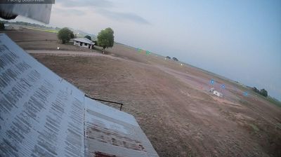


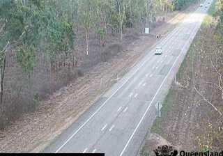
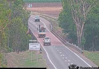

Home Hill occupies a flat, cane-growing plain on the southern bank of the Burdekin River in north Queensland. The town is paired across the river with Ayr, and the Burdekin Bridge provides their principal road-and-rail connection. Sugarcane defines the local economy and seasonal rhythm: fields spread across the irrigated Burdekin district, while the annual crush brings cane trains and mill activity to the wider area. Home Hill grew from a soldier-settlement scheme begun during the First World War, a past that remains part of its local identity. It is a useful place for understanding the tropical agricultural country between Townsville and Bowen. Continue through nearby webcams to explore different parts of Home Hill and the Burdekin region.
1 webcam
Queensland extends from Torres Strait in the north to the New South Wales border in the south, encompassing a tropical coastline and a vast, dry interior. Along the Coral Sea, the Great Barrier Reef runs beside the state’s eastern shore, while inland plains, grazing country and long distances define much of central and western Queensland. This location lies in the interior, where settlements are widely spaced and open outback horizons contrast with the humid coast. Queensland is home to Aboriginal and Torres Strait Islander peoples, whose enduring connections to Country underpin its cultural identity. Browse additional webcams from central Queensland to extend your view of the state’s interior.
515 webcams
Australia’s terrain extends from tropical rainforests in the northeast to arid plains in the interior, producing dramatic climatic contrasts. The Great Dividing Range follows much of the eastern coast, while the Great Barrier Reef lies off Queensland in the Coral Sea and Uluru rises from the central desert. Aboriginal and Torres Strait Islander peoples maintain living cultures whose connections to Country long predate European settlement. In Sydney, the sail-like Opera House, completed in 1973, stands beside one of the world’s best-known harbours. Discover further points of interest through webcams located across Australia.
1.7K webcams