 Gällivare: GälkaWarriors - Dundret snowpark
Dundret mountain defines the setting of Gällivare — its rounded, forest-edged slopes rise directly above this Norrbotten town. Dundret snowpark is part of the mountain’s downhill-skiing area, where the GälkaWarriors name is associated with freestyle terrain. The site lies in Swedish Lapland, within a broad northern landscape of conifer woodland and low fells rather than a densely built urban centre. Gällivare’s modern development has been closely tied to the iron-ore mining district at nearby Malmberget and to the Iron Ore Line, which links northern Sweden with the Norwegian coast. Dundret gives the town a clear recreational focus, with lift infrastructure, downhill runs and mountain routes close to everyday services. This is also part of Sápmi, the cultural homeland of the Sámi people.
Generated by AI
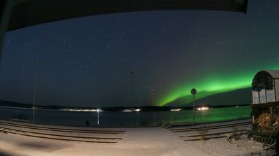
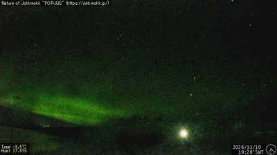

Gällivare lies beside Lake Vassaraträsk, with the slopes of Dundret rising above this northern Swedish town. Set north of the Arctic Circle in Norrbotten County, it is surrounded by taiga, lakes and low fells rather than coastal scenery. The town’s identity is closely tied to the iron-ore district of nearby Malmberget and to the Iron Ore Line, the railway connecting Luleå with Narvik. Dundret supports skiing in winter and outdoor recreation throughout the year, while the wider area forms part of Sápmi, the traditional homeland of the Sámi people. Explore nearby webcam locations that provide complementary perspectives on Gällivare, Dundret and Norrbotten County.
2 webcams
Developed around iron-ore fields and northern Sweden’s transport routes, Norrbotten County grew into the country’s largest county by area. It stretches from the Gulf of Bothnia’s low, island-dotted coast to the Scandinavian Mountains along the Norwegian border, while the Torne River forms part of its frontier with Finland. The county lies within Sápmi, the traditional homeland of the Sámi people, and reindeer herding remains integral to its northern identity. Near Luleå, Gammelstad Church Town is a UNESCO World Heritage site, preserving church cottages clustered around a medieval stone church. Continue with other webcams from the area to see how this far-northern part of Sweden connects between coast, forest, and mountains.
28 webcams
Sweden combines Baltic coastal life with Arctic expanses in a way that reflects its position within northern Europe. Forests, lakes and long shorelines define much of the country, from Lake Vänern in the south to the Gulf of Bothnia and the mountains along the Norwegian border. Stockholm spreads across islands where Lake Mälaren meets the Baltic Sea, while the preserved 17th-century warship at the Vasa Museum recalls Sweden’s era as a major European power. Midsummer celebrations and the traditions of the Sámi people add further depth to its regional identity. Browse other webcams across Sweden to place this setting in a wider geographic context.
990 webcams