 Halmaj: Halmaji körforgalom -> Miskolc és M30 autópálya
Tucked along the Hernád River in northeastern Hungary, Halmaj is a place whose character is shaped by cultivated lowland and regional transport connections. The settlement stands in Borsod-Abaúj-Zemplén County, where the Hernád valley forms a north–south corridor between Miskolc and the Slovak border. Fields and farmland remain central to the setting, while engineered junctions bring through traffic into contact with local roads. The M30 motorway corridor, connecting Miskolc to Tornyosnémeti on the border, runs close to Halmaj. This combination of village-scale settlement, agriculture and infrastructure reflects a working landscape rather than a place built around a single monument. The Hernád gives the area geographic continuity and links Halmaj to the wider river valley.
Generated by AI
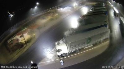

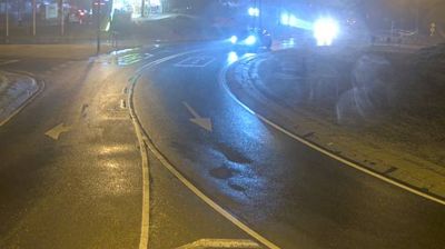
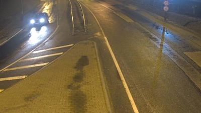
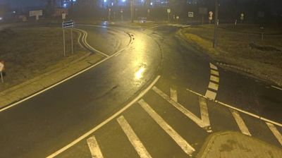
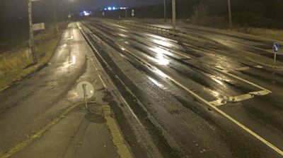

Built around routes through the Hernád valley, Halmaj grew into a rural community in Borsod-Abaúj-Zemplén County, in northeastern Hungary. The Hernád, running south from Slovakia toward the Tisza, gives the settlement its broad valley setting; agricultural land lies close to the river, while the Cserehát hills begin to the north. Halmaj is served by the railway between Miskolc and Hidasnémeti, a line that continues toward Košice in Slovakia. Its Reformed church is a local reminder of Protestant traditions across this part of Hungary. Browse other webcams across northeastern Hungary to place this setting in a wider geographic context.
2 webcams
Built around the Tisza River basin and the trading routes of the Great Hungarian Plain, Great Plain and North developed into a broad region where open farmland meets Hungary’s northern hills. The Tisza and its floodplain have long influenced settlement and agriculture, while the plains retain the puszta character associated with horse breeding and herding. Hortobágy National Park, Hungary’s first national park and a UNESCO World Heritage site, safeguards a cultural landscape of grassland, wetlands and traditional pastoral use. Farther north, the terrain rises toward the country’s mountain districts. Continue with other webcams from the area to see how this part of Hungary connects between the plain and northern uplands.
274 webcams
Hungary combines a long urban tradition with expansive lowland horizons in a way that reflects its position within the Carpathian Basin. The Danube runs through Budapest, separating the hills of Buda from the grand boulevards of Pest, where the Hungarian Parliament Building stands on the riverbank. Beyond the capital, the Great Hungarian Plain shapes much of the east, while Lake Balaton, Central Europe’s largest lake, draws summer visitors to its shores. Thermal bathing remains part of everyday life, and the Tokaj region is internationally known for its historic sweet wines. Explore nearby webcam locations that provide complementary perspectives on Hungary.
744 webcams