 Dorog: Kesztölc -> Esztergom
Dorog is best known within Hungary for its long coal-mining heritage. The town stands in the Dorog Basin, between the Gerecse and Pilis hills, on the transport corridor linking Budapest with Esztergom near the Danube Bend. Coal extraction began here in the late 18th century and shaped Dorog’s workforce, housing and industrial identity for generations. Mining has ceased, but the Hungarian Museum of Mining preserves that story through collections devoted to the industry and its workers. Today, Dorog combines rail and road connections with a compact urban fabric, while the wooded slopes around the basin place it firmly in northwestern Hungary’s low-mountain country.
Generated by AI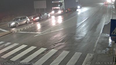



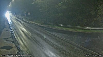
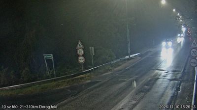

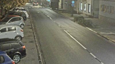

The landscape around Dorog is a low basin between the Gerecse Hills and the Pilis Mountains, which has shaped both the town’s compact form and its long mining economy. Coal deposits made Dorog an important industrial settlement in northwestern Hungary from the 19th century, drawing workers and infrastructure into the valley close to Esztergom and Budapest. That legacy is preserved at the Dorog Mining Museum, while the surrounding Transdanubian Mountains provide a markedly different setting of wooded slopes and limestone terrain. Dorog also has a strong sporting identity through its historic football club. Explore related webcams around Dorog and the Gerecse–Pilis region for a broader sense of northern Transdanubia.
2 webcams
Built around the lands west of the Danube, Transdanubia grew into Hungary’s broad western historical region. This location lies on Lake Balaton’s northern shore near Balatonfüred, where the Balaton Uplands rise behind the water in a mosaic of vineyards, basalt hills and small settlements. Lake Balaton, Central Europe’s largest lake, has long shaped local recreation, agriculture and summer life. Across the bay, the Tihany Peninsula is marked by its Benedictine Abbey, founded in 1055 and associated with one of Hungary’s earliest surviving written records. Continue with other webcams from the area to see how this part of western Hungary connects regionally.
305 webcams
Hungary combines a long urban tradition with expansive lowland horizons in a way that reflects its position within the Carpathian Basin. The Danube runs through Budapest, separating the hills of Buda from the grand boulevards of Pest, where the Hungarian Parliament Building stands on the riverbank. Beyond the capital, the Great Hungarian Plain shapes much of the east, while Lake Balaton, Central Europe’s largest lake, draws summer visitors to its shores. Thermal bathing remains part of everyday life, and the Tokaj region is internationally known for its historic sweet wines. Explore nearby webcam locations that provide complementary perspectives on Hungary.
744 webcams