 Arbeost: Col du Soulor
Col du Soulor combines an exposed high-mountain road with pastoral slopes in a way that reflects its position in the western French Pyrenees. At 1,474 metres, the pass links the Arrens valley in Hautes-Pyrénées with the Ouzom valley, leading towards Arbéost. Its road continues to Col d’Aubisque, placing Soulor on one of the best-known routes across this part of the range. Col du Soulor entered Tour de France history in 1947 and has returned repeatedly to the race, where its long approaches and open mountain terrain make it a demanding cycling landmark. Pastureland, limestone ridges and broad slopes give the crossing a distinctly Pyrenean character.
Generated by AI

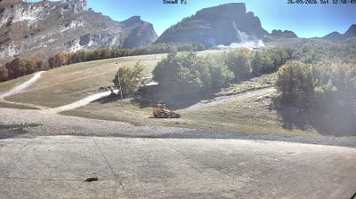

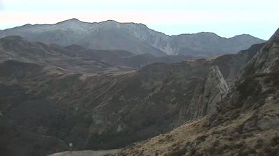
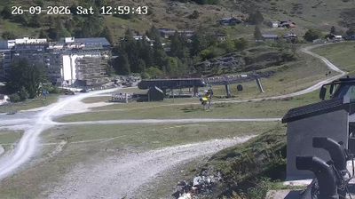
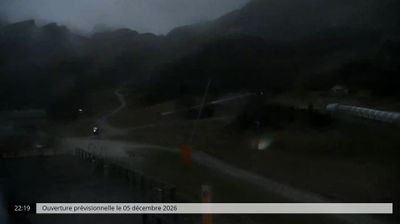
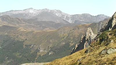
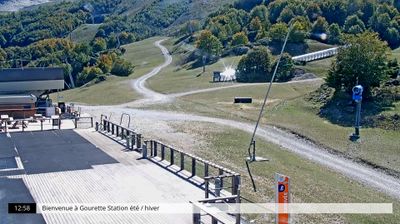

Arbeost combines a remote valley setting with a deep-rooted pastoral character in a way that reflects its position in the western Pyrenees. The commune lies in the upper valley of the Ouzom, near the boundary between the Hautes-Pyrénées and Pyrénées-Atlantiques departments, where steep slopes are used for grazing. East of the settlement, the 1,474-metre Col du Soulor links the valley with Arrens-Marsous and is a well-known Tour de France ascent. Though close to Béarn, Arbeost belongs to the historic land of Bigorre. Browse additional webcams from the surrounding Pyrenees to extend your view of the Ouzom valley.
1 webcam
Occitania occupies a broad southern belt in France, extending from the Massif Central and the Pyrenees to the Mediterranean coast. These coordinates lie in the inland Haut-Languedoc area, where wooded hills and reservoirs around the upper Agout contrast with coastal plains farther east. Toulouse, the regional capital, stands on the Garonne and is associated with the Canal du Midi, a 17th-century waterway linking the city with the Mediterranean and listed as a UNESCO World Heritage Site since 1996. Roman sites, fortresses connected with the Cathar past, and the Occitan language tradition reveal the many layers of southern French identity. Continue through nearby webcams to explore different parts of Occitania.
218 webcams
The Atlantic and Mediterranean coastlines, together with the Alps, Pyrenees and broad river basins, define much of France — they support maritime trade, farming, wine regions and travel throughout the year. The Seine runs through Paris, where the Eiffel Tower and the Louvre are among Europe’s most recognised landmarks. The Loire Valley is known for Renaissance châteaux, while Mont-Saint-Michel rises from a tidal bay in Normandy. Regional food traditions are equally distinctive, from Breton seafood to Provençal cooking, with bread, cheese and wine central to everyday life. France’s global cultural influence is evident in its language, literature, fashion and cinema. View additional webcams nearby to better understand how France’s coasts, plains and mountain borders relate to their surroundings.
2.2K webcams