 Cát Lái
Built around a growing road network between Ho Chi Minh City’s eastern neighbourhoods and the Cát Lái port area, Phú Hữu Ward grew into a mixed residential, commercial and industrial quarter. Broad streets such as Nguyễn Duy Trinh carry local trade, motorbikes, cars and freight traffic between low-rise shopfronts and warehouses. The ward lies on the rapidly urbanising edge of the city, west of the Đồng Nai River. Nearby Cát Lái is a major container-port district, making logistics central to the area’s daily rhythm. The eastern part of Ho Chi Minh City was reorganised as Thu Duc City in 2021 through the merger of Districts 2, 9 and Thu Duc.
Generated by AI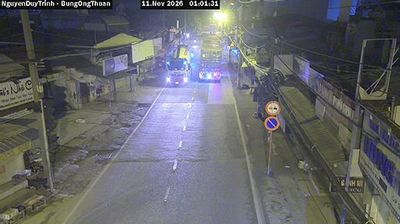
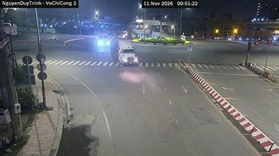
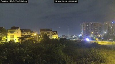
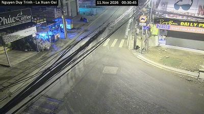

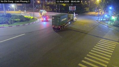
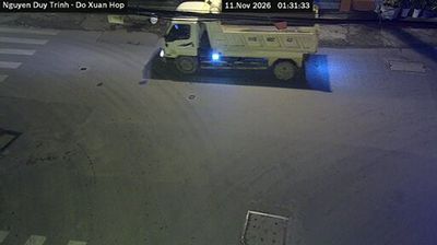
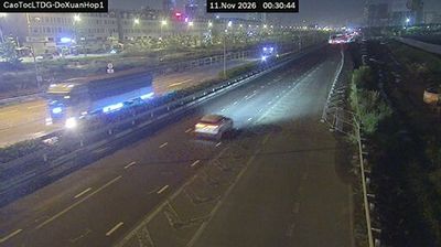

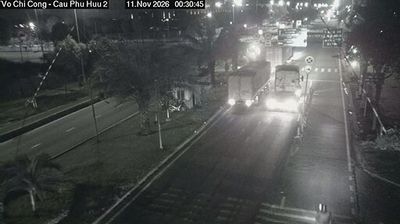

Cát Lái lies along the Đồng Nai River on Ho Chi Minh City’s eastern edge, where broad tidal channels meet low-lying urban and industrial districts. The area is centred on Cát Lái Port, one of Vietnam’s busiest container terminals and a major link in the country’s trade network. The Cát Lái ferry crosses the river to Nhơn Trạch in Đồng Nai Province, underlining the close connection between the metropolis and its fast-developing neighbouring districts. River traffic, warehouses and new urban growth give this stretch of the city a distinctly working waterfront character. Continue with other webcams from the area to see how this part of southern Vietnam connects regionally.
8 webcams
Đồng Nai Province has served as a southern frontier within Vietnam since the seventeenth century. East of Ho Chi Minh City, it spans a transition from lowland farming country to wooded uplands, with the Đồng Nai River forming a central thread through the province. Biên Hòa, the provincial capital, is one of southern Vietnam’s long-established urban centres and is associated with a traditional pottery craft. The province also includes part of Cát Tiên National Park, whose forests and wetlands contrast with the industrial corridors around Biên Hòa. Continue with other webcams from the area to see how this part of southern Vietnam connects regionally.
19 webcams
Vietnam has served as a frontier between Chinese and Southeast Asian cultural spheres since the first millennium. This long, narrow country extends from the Red River delta in the north to the Mekong delta in the south, while the Annamite Range forms much of its western spine. Ha Long Bay’s limestone islands contrast with broad rice-growing lowlands. In central Vietnam, Huế was the seat of the Nguyễn dynasty, and Hội An retains the character of a historic trading port shaped by Asian and European commerce. Pho, regional noodle dishes and a lively coffee culture are part of daily life. View additional webcams nearby to better understand how Vietnam relates to the South China Sea and mainland Southeast Asia.
705 webcams