 Taipei
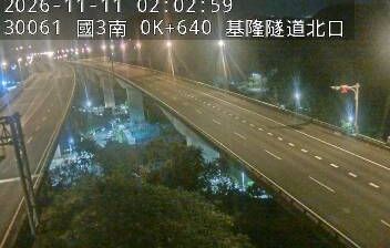
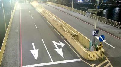
Tucked between the Keelung River lowlands and the wooded hills of northeastern New Taipei, Xizhi Interchange is a place whose character is shaped by road traffic linking Taipei with Keelung. It connects National Freeway 1, the north–south Sun Yat-sen Freeway, with local routes serving Xizhi, a district on Taipei’s eastern urban edge. Broad carriageways and slip roads mark the transition from the dense metropolis to a river corridor framed by hill country. The wider district developed around transport and industry, while rail remains important: Xizhi is served by the Taiwan Railways Western Trunk Line. The Keelung River flows west through Taipei before joining the Tamsui River, giving this intensely built-up area its underlying geography.
Generated by AI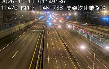


Taipei is best known in Taiwan for Taipei 101, the 508-metre tower that became the world’s tallest building when it opened in 2004. The capital occupies the Taipei Basin, with the Tamsui River along part of its western edge and the Keelung River running through northern districts. Historic Dadaocheng recalls the trading quarter that developed beside the river, while night markets, temples and an extensive metro network shape everyday city life. The National Palace Museum holds a major collection of Chinese imperial art, and Longshan Temple, founded in 1738, remains a leading religious landmark. See how Taipei fits within northern Taiwan by browsing webcams nearby.
5 webcams
Taipei is best known within Taiwan for Taipei 101, the landmark tower that has become a symbol of the capital. Set in the Taipei Basin beside the Tamsui River, the city brings dense commercial districts close to the slopes of Yangmingshan National Park. Its streets move between temples, night markets and major museums; the National Palace Museum holds one of the world’s foremost collections of Chinese imperial art. Longshan Temple, founded in the 18th century, remains an important Buddhist and folk-religion site in Wanhua. Metro links make it easy to trace the contrast between historic neighbourhoods and the modern east side. Continue with other webcams from the area to see how this part of northern Taiwan connects regionally.
5 webcams
Taiwan's terrain ranges from fertile plains along the western coast to steep mountains in the interior, concentrating much of its population on the lowlands. The Central Mountain Range runs through the island, while the Pacific meets a more rugged eastern shoreline and the Taiwan Strait lies to the west. Taipei combines contemporary city life with major cultural institutions: the National Palace Museum preserves an extensive collection of Chinese imperial art. Across Taiwan, night markets are central to everyday eating, serving regional snacks alongside familiar staples. Tea cultivation, especially in upland areas, remains an enduring part of the island's food culture. Explore nearby locations that provide complementary perspectives on Taiwan.
94 webcams