 Bryson City
The landscape around Bryson City is defined by wooded Appalachian ridges and the Tuckasegee River, which have shaped both the built environment and local life. Bryson City is the seat of Swain County, with a compact centre of small businesses, public services and railway infrastructure. The Great Smoky Mountains Railroad departs here for excursions through the surrounding mountains, including routes toward the Nantahala Gorge. The town lies close to Great Smoky Mountains National Park and the Qualla Boundary, homeland of the Eastern Band of Cherokee Indians. This connection between rail travel, town services and the mountains defines Bryson City’s role in western North Carolina.
Generated by AI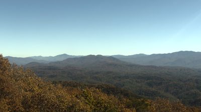

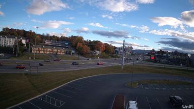

Bryson City straddles the Tuckasegee River in western North Carolina, and its valley position has long connected the town with the surrounding Great Smoky Mountains. It is the seat of Swain County and stands just south of Great Smoky Mountains National Park, where densely forested ridges shape the wider setting. The Great Smoky Mountains Railroad departs from the downtown depot, running mountain excursions toward the Nantahala Gorge and along the Tuckasegee. Browse other webcams across western North Carolina to place this mountain setting in a wider geographic context.
1 webcam
Among the regions of the United States, North Carolina stands out for its sweep from the Blue Ridge Mountains across the Piedmont to the Atlantic’s barrier islands. The coordinates lie in the central Piedmont, where rolling, wooded terrain and growing communities link the mountain country with the coastal plain. To the west, the Blue Ridge Parkway follows the Appalachian highlands; eastward, the Outer Banks form a long sandy edge facing the Atlantic. North Carolina holds an enduring place in aviation history: the Wright brothers made the first successful powered flight near Kitty Hawk in 1903. Barbecue traditions and university towns add further character to this state of distinct regions. Discover North Carolina in its wider Southeastern setting by browsing webcams in nearby areas.
58 webcams
The Atlantic, Pacific and Gulf coasts define much of the United States — their ports, fisheries and trade routes have long tied the country’s economy to the wider world. Between them, the Rocky Mountains, Great Plains and Mississippi River basin form sharply different regions, from high western ranges to broad agricultural heartlands. Cities carry much of the national story: New York’s Statue of Liberty, a gift from France dedicated in 1886, remains an enduring symbol, while Washington, DC concentrates major federal institutions. Indigenous nations have shaped these lands for millennia, and their living cultures remain essential to the country’s identity. Find related webcams in the surrounding areas to build a fuller picture of the United States.
32K webcams