 Anseong-myeon
Few places in Jeollabuk-do have a history as closely tied to the Deogyusan highlands as Deogyusan itself. Designated a national park in 1975, this mountain region extends across Jeollabuk-do and Gyeongsangnam-do, with Hyangjeokbong reaching 1,614 metres. Around Muju Deogyusan Resort, cleared runs, lift lines and service buildings cross slopes within a broad forested massif. The resort is among South Korea’s major winter-sports destinations, while the national park is threaded with walking routes through mountain woodland. Muju County is also known for its annual Firefly Festival, a cultural event associated with the Namdaecheon River.
Generated by AI
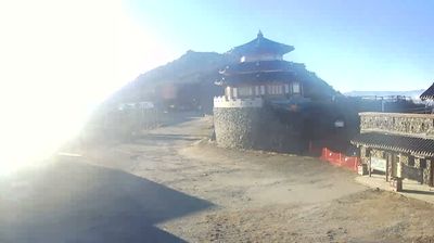

Anseong-myeon lies along the upper Geum River valley, where cultivated lowlands meet the wooded slopes of Muju County in northern Jeollabuk-do. The township is close to Deogyusan National Park, a mountainous protected area in the Sobaek range. This is rural inland Korea, defined by small settlements, fields and winding local roads rather than dense urban development. Across Muju County, the annual Muju Firefly Festival reflects the importance placed on clean streams and the insects that inhabit them. Move on to other webcams in Jeollabuk-do to compare the valleys and mountain settings around Anseong-myeon.
2 webcams
Rooted in the fertile Honam Plain and its long-established rice farming, Jeollabuk-do has become a cultural and agricultural centre of southwest South Korea. Its provincial capital, Jeonju, is known for Jeonju Hanok Village, where hundreds of traditional Korean houses remain, and for bibimbap, one of the country’s best-known dishes. Gyeonggijeon Shrine preserves a portrait of King Taejo, founder of the Joseon dynasty, connecting the city to the royal Yi family. Beyond the urban streets, the Mangyeong and Dongjin river basins spread across the plain, while Naejangsan National Park is associated with autumn foliage. Find related webcams around Jeonju and wider Jeollabuk-do to gain a fuller picture of this southwestern province.
6 webcams
South Korea stretches from the mountainous border with North Korea to Jeju Island, encompassing forested ranges, fertile river basins and a deeply indented southern coast. The Taebaek Mountains run along much of the east, while the Han River crosses Seoul before reaching the Yellow Sea. Busan faces the Korea Strait, and tidal flats and islands shape the country’s western shore. Seoul combines dense contemporary districts with royal Joseon sites, including Gyeongbokgung Palace, first built in 1395. Kimchi and bibimbap are central to everyday cuisine, while the Korean alphabet, Hangeul, was created in the 15th century. Find related webcams in the surrounding area to build a fuller picture of South Korea’s coasts, mountains and cities.
162 webcams