 Phước Luơng
Thanh My Loi Ward sits beside the Saigon River in Ho Chi Minh City, Vietnam, where broad urban roads connect residential quarters with freight corridors in the city’s east. Part of the former District 2, the area has changed rapidly alongside the development of Thu Thiem, while its streets continue to carry the working traffic of a metropolis extending well beyond its historic centre. Ho Chi Minh City, known as Saigon until 1976, is Vietnam’s largest city and leading economic hub. Low-lying land shaped by the Saigon River and a network of canals defines this side of the city, and its wide junctions reflect the scale and momentum of a growing urban district.
Generated by AI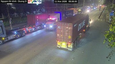

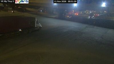
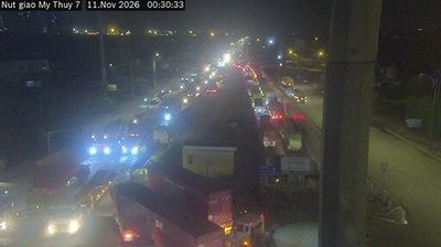

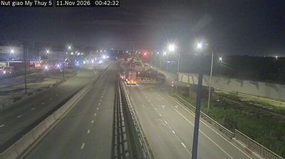
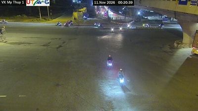
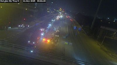
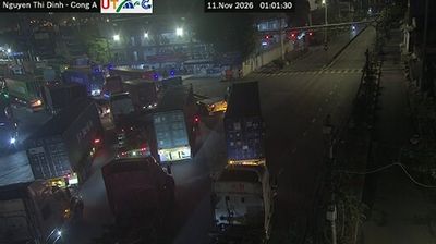


Phước Luơng straddles the lowland fringe of the Đồng Nai River in southern Đồng Nai Province, a position shaped by waterways, seasonal rains and the expanding metropolitan influence of nearby Ho Chi Minh City. It forms part of southeastern Vietnam’s broad river plain, where cultivated land and newer industrial development meet rather than the country’s better-known mountain or coastal landscapes. The province is also associated with Biên Hòa pottery, a long-established ceramic tradition centred in its capital farther north. Phước Luơng is a useful point from which to follow the changing river country between Ho Chi Minh City and inland Đồng Nai. Continue through nearby webcams to explore different parts of Đồng Nai Province.
10 webcams
Đồng Nai Province has served as a southern frontier within Vietnam since the seventeenth century. East of Ho Chi Minh City, it spans a transition from lowland farming country to wooded uplands, with the Đồng Nai River forming a central thread through the province. Biên Hòa, the provincial capital, is one of southern Vietnam’s long-established urban centres and is associated with a traditional pottery craft. The province also includes part of Cát Tiên National Park, whose forests and wetlands contrast with the industrial corridors around Biên Hòa. Continue with other webcams from the area to see how this part of southern Vietnam connects regionally.
19 webcams
Vietnam has served as a frontier between Chinese and Southeast Asian cultural spheres since the first millennium. This long, narrow country extends from the Red River delta in the north to the Mekong delta in the south, while the Annamite Range forms much of its western spine. Ha Long Bay’s limestone islands contrast with broad rice-growing lowlands. In central Vietnam, Huế was the seat of the Nguyễn dynasty, and Hội An retains the character of a historic trading port shaped by Asian and European commerce. Pho, regional noodle dishes and a lively coffee culture are part of daily life. View additional webcams nearby to better understand how Vietnam relates to the South China Sea and mainland Southeast Asia.
705 webcams