 Rạch Bảy
Built around the east bank of the Saigon River, Thanh My Loi Ward grew into a rapidly urbanising part of Ho Chi Minh City. The ward belongs to Thu Duc City, on the former District 2 side of the river, where broad transport corridors run between newer housing, established neighbourhoods and commercial land. Vo Chi Cong Road is a major east-bank route, while nearby Phu My Bridge crosses the Saigon River to District 7. Completed in 2009, the cable-stayed bridge strengthened connections between the southern port-oriented districts and the expanding eastern side of the metropolis. Thanh My Loi’s major roads, tree-covered plots and new towers reflect Ho Chi Minh City’s continuing outward growth.
Generated by AI
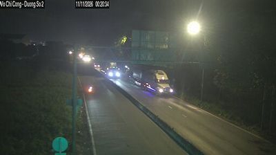
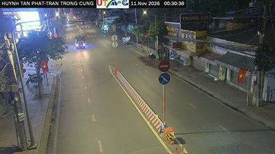

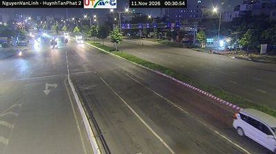
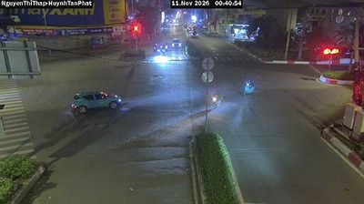



Rạch Bảy occupies a low-lying stretch of Nhơn Trạch District in Đồng Nai Province. It belongs to the broad southern lowlands east of Ho Chi Minh City, where canals, tidal waterways and cultivated land shape settlement patterns. The wider district lies between the Đồng Nai and Thị Vải river systems, whose channels have long connected this area with the region’s river ports and industrial zones. Rạch Bảy provides a quieter local perspective on a province undergoing rapid change around Vietnam’s largest urban region. Continue through nearby webcams to explore different parts of Nhơn Trạch and Đồng Nai Province.
1 webcam
Đồng Nai Province has served as a southern frontier within Vietnam since the seventeenth century. East of Ho Chi Minh City, it spans a transition from lowland farming country to wooded uplands, with the Đồng Nai River forming a central thread through the province. Biên Hòa, the provincial capital, is one of southern Vietnam’s long-established urban centres and is associated with a traditional pottery craft. The province also includes part of Cát Tiên National Park, whose forests and wetlands contrast with the industrial corridors around Biên Hòa. Continue with other webcams from the area to see how this part of southern Vietnam connects regionally.
19 webcams
Vietnam has served as a frontier between Chinese and Southeast Asian cultural spheres since the first millennium. This long, narrow country extends from the Red River delta in the north to the Mekong delta in the south, while the Annamite Range forms much of its western spine. Ha Long Bay’s limestone islands contrast with broad rice-growing lowlands. In central Vietnam, Huế was the seat of the Nguyễn dynasty, and Hội An retains the character of a historic trading port shaped by Asian and European commerce. Pho, regional noodle dishes and a lively coffee culture are part of daily life. View additional webcams nearby to better understand how Vietnam relates to the South China Sea and mainland Southeast Asia.
705 webcams