 Sroda Slaska
Among the towns of Lower Silesian Voivodeship, Środa Śląska stands out for the Środa Treasure, one of Poland’s most important medieval archaeological finds. The town lies on the Średzka Woda, west of Wrocław, amid the level agricultural country of Lower Silesia. Its compact core follows a medieval market-square layout, framed by closely built townhouses, civic buildings and the Gothic parish church of St Andrew the Apostle. The treasure was uncovered during construction work in 1985 and 1988; its medieval gold and silver objects include a gold crown, jewellery and coins. The name itself recalls the town’s traditional Wednesday market. These finds give this small Silesian town a cultural significance well beyond its size.
Generated by AI


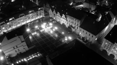
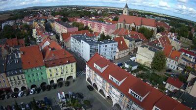

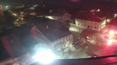

Środa Śląska occupies the lowland valley of the Średzka Woda in Poland’s Lower Silesian Voivodeship, west of Wrocław. The town developed on historic routes between Wrocław and Legnica, and its compact centre still reflects a medieval urban layout. Its best-known historical association is the Środa Treasure, an exceptional medieval hoard uncovered here during the 1980s, containing coins, jewellery and a gold crown. The Gothic Church of St Andrew the Apostle and the town hall recall the civic and religious architecture of Silesia. Browse additional webcams from Lower Silesia to extend your view of the Średzka Woda valley.
1 webcam
Among the regions of Poland, Lower Silesian Voivodeship stands out for the meeting of the Sudetes, the Oder valley and historic Wrocław. Its southern edge reaches the Karkonosze range, where Śnieżka rises as the highest peak of the Sudetes, while broad lowlands and river corridors shape the north. Wrocław is the regional centre, known for its Market Square, the cathedral district of Ostrów Tumski and the UNESCO-listed Centennial Hall. Further west, Książ Castle near Wałbrzych recalls the area’s long Silesian past. Browse additional webcams around the region to extend your view of Lower Silesia.
75 webcams
Poland stretches from the Baltic Sea coast in the north to the Carpathian Mountains along its southern frontier, encompassing broad lowlands, lake districts and upland ranges. The Vistula, the country’s longest river, links Kraków and Warsaw before reaching the Baltic near Gdańsk, while the Masurian Lake District is defined by a dense network of lakes. Kraków’s historic centre, including Wawel Castle, recalls Poland’s former royal capital; Warsaw’s rebuilt Old Town speaks to the city’s recovery after the Second World War. The Białowieża Forest preserves one of Europe’s last primeval lowland forests and is home to European bison. Follow how Poland’s regions relate to one another by browsing webcams across the country.
718 webcams