 Rajgrod: Jezioro Rajgrodzkie na żywo
The landscape around Rajgród is a low-lying mosaic of open water, wooded shores and farmland, which has shaped both the built environment and local life. The town stands on Jezioro Rajgrodzkie, a large lake of the Ełk Lake District whose irregular bays and peninsulas give Rajgród its waterfront form. The lake drains through the Jegrznia, which joins the Biebrza farther south, tying the town to one of north-eastern Poland’s important wetland river systems. Rajgród received town rights in 1568, and its compact centre remains the civic focus above the lake. Boating, watersports and stays by the shore are central to its present-day role as a small regional holiday town.
Generated by AI

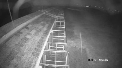

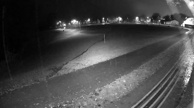
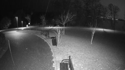


Tucked along the shores of Lake Rajgrodzkie in northeastern Poland, Rajgród is a town whose character is shaped by water and the lowland terrain of Podlaskie Voivodeship. The lake’s long, branching shoreline makes the town a natural base for boating and quiet waterside walks. Its waters flow through the Jegrznia River towards the Biebrza, linking Rajgród to one of Poland’s great wetland regions. Rajgród has long served as a local town for the surrounding lake district, and the Church of the Nativity of the Blessed Virgin Mary stands among its recognisable civic landmarks. Continue with additional webcams around Rajgród to see how this lake district connects with the Biebrza wetlands.
1 webcam
Built around the Narew and Bug river systems, Podlaskie Voivodeship grew into Poland’s northeastern borderland, where lowlands meet extensive forests and wetlands. The Biebrza marshes, protected in Biebrza National Park, are among the region’s defining habitats, while the Narew flows through a network of channels and floodplain meadows. Białowieża Forest, shared with Belarus and inscribed on UNESCO’s World Heritage List, preserves one of Europe’s last large remnants of primeval lowland forest and its European bison. Białystok is the regional capital, and Podlaskie also carries the heritage of Poland’s Lipka Tatars, notably in Kruszyniany and Bohoniki. Trace this northeastern Polish region’s place in the wider borderland by browsing webcams nearby.
25 webcams
Poland stretches from the Baltic Sea coast in the north to the Carpathian Mountains along its southern frontier, encompassing broad lowlands, lake districts and upland ranges. The Vistula, the country’s longest river, links Kraków and Warsaw before reaching the Baltic near Gdańsk, while the Masurian Lake District is defined by a dense network of lakes. Kraków’s historic centre, including Wawel Castle, recalls Poland’s former royal capital; Warsaw’s rebuilt Old Town speaks to the city’s recovery after the Second World War. The Białowieża Forest preserves one of Europe’s last primeval lowland forests and is home to European bison. Follow how Poland’s regions relate to one another by browsing webcams across the country.
718 webcams