 Nan'ao
 lies along Taiwan’s Pacific coast, where steep, forested mountains meet a deeply indented shore of small coves and headlands. This stretch belongs to the island’s narrow east-coast corridor, with the Central Mountain Range pressing close to the sea and leaving little level ground for settlement. Provincial Highway 9, commonly called the Suhua Highway on this coastal section, is a major land link between Su'ao and Hualien and follows the rugged terrain through tunnels, bridges and cliffside sections. Nan'ao is associated with the traditional territory of the Atayal, one of Taiwan’s Indigenous peoples; their communities remain central to the area’s cultural identity. Its character comes from the close relationship between road, mountain forest and the Pacific.
Generated by AI

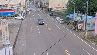
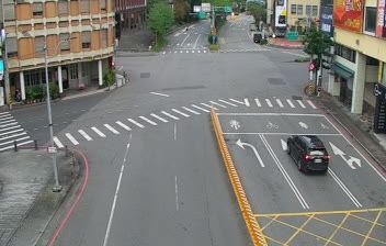

Among the townships of Yilan County, Nan'ao stands out for its Pacific shoreline pressed closely against the Central Mountain Range. At Taiwan’s northeastern east-coast transition, the Nan'ao River runs from steep, heavily wooded valleys toward the sea, while the settlement is served by the North-Link railway. Nan'ao is also part of the traditional homeland of the Atayal, one of Taiwan's Indigenous peoples, whose presence remains central to the township’s identity. The nearby Suhua Highway follows a demanding coastal and mountain corridor toward Hualien, showing how strongly terrain shapes travel here. Browse additional webcams from the surrounding area to extend your view of Yilan County’s Pacific coast.
2 webcams
Shaped by the Lanyang River system and its alluvial plain, Yilan County developed into one of northeastern Taiwan’s distinctive agricultural and coastal regions. The Lanyang Plain opens towards the Pacific, while much of the county rises into densely forested mountain country. Rice cultivation remains integral to local life, and the National Center for Traditional Arts in Wujie presents Taiwanese crafts, music and performance. Offshore, Guishan Island is a familiar landmark, while Jiaoxi is known for its hot springs. This meeting of plain, mountains and sea gives Yilan a markedly different character from Taiwan’s west-coast cities. Continue through nearby webcams to explore different parts of Yilan County.
6 webcams
Taiwan's terrain ranges from fertile plains along the western coast to steep mountains in the interior, concentrating much of its population on the lowlands. The Central Mountain Range runs through the island, while the Pacific meets a more rugged eastern shoreline and the Taiwan Strait lies to the west. Taipei combines contemporary city life with major cultural institutions: the National Palace Museum preserves an extensive collection of Chinese imperial art. Across Taiwan, night markets are central to everyday eating, serving regional snacks alongside familiar staples. Tea cultivation, especially in upland areas, remains an enduring part of the island's food culture. Explore nearby locations that provide complementary perspectives on Taiwan.
95 webcams