 Khlong Khwang Subdistrict
 occupies low-lying ground on Thailand’s central plain in Nonthaburi Province. It forms part of the broad Chao Phraya basin, a riverine lowland that has long supported settlement, market gardening and rice cultivation around Bangkok. The area has a practical peri-urban character, with local access roads, low-rise buildings and service yards reflecting everyday commerce beyond the capital’s dense core. Nonthaburi lies northwest of Bangkok and is closely associated with an established fruit-orchard tradition, notably the province’s prized durians. Khlong Khwang belongs to the changing metropolitan edge, where transport and small-scale business occupy a flat landscape shaped by waterways and agriculture.
Generated by AI
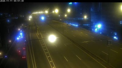


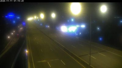

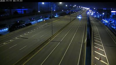


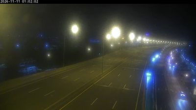

Among the settlements of Nonthaburi Province, Khlong Khwang Subdistrict stands out for its canal-lined, low-lying farmland on Thailand’s central plain. It forms part of Sai Noi District, west of the denser urban districts around Nonthaburi City, where irrigation waterways and fields still shape local routines. The area belongs to the Chao Phraya River basin, whose seasonal waters have long supported cultivation across central Thailand. Its name uses khlong, the Thai word for canal, recalling the practical and cultural importance of waterways here. Browse additional webcams from the surrounding area to extend your view of Sai Noi and Nonthaburi Province.
1 webcam
The Chao Phraya River defines much of Nonthaburi Province – its banks have long supported orchards, river trade and settlements closely tied to Bangkok. Immediately northwest of the capital, this low-lying central Thai province blends dense urban districts with canals, market communities and fruit-growing land. Nonthaburi is especially associated with durian cultivation; the province’s orchards have a strong reputation in Thailand when seasonal fruit reaches local markets. Ko Kret, a river island in Pak Kret, is known for its Mon community, temples and handmade pottery, adding a distinct cultural thread to the provincial landscape. Browse nearby webcam locations for complementary perspectives on Nonthaburi Province.
1 webcam
Thailand stretches from the mountains along its northern borders to the Malay Peninsula, encompassing fertile central plains, river deltas and long tropical coasts. The Chao Phraya River runs through Bangkok, where the Grand Palace and Wat Phra Kaew remain central symbols of the Thai monarchy and Buddhist tradition. North of the capital, Ayutthaya’s temple ruins recall the former Siamese kingdom; farther south, the Andaman Sea and Gulf of Thailand frame islands, fishing ports and beach resorts. Thai food, from street stalls to regional kitchens, is inseparable from daily life, while Songkran marks the traditional New Year each April. Browse additional webcams from the surrounding area to extend your view of Thailand.
147 webcams