 Uvernet-Fours
 is best known within the Southern French Alps for the Pra-Loup ski resort. The commune lies in Alpes-de-Haute-Provence, where the Ubaye valley meets steep Alpine terrain above Barcelonnette. Pra-Loup forms part of Espace Lumière, the linked ski area shared with Val d’Allos, and gives this otherwise sparsely settled mountain commune its modern focus. The landscape shifts from the valley floor and river corridors to conifer-covered slopes, open mountain pastures and high ridges. Uvernet-Fours retains the character of a traditional Ubaye Valley commune, with separate settlements including Uvernet and Fours rather than one continuous urban centre.
Generated by AI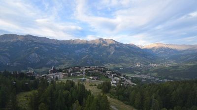



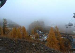
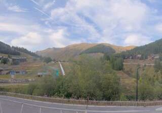
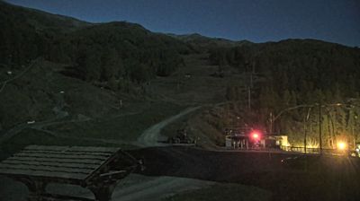
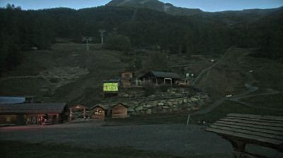
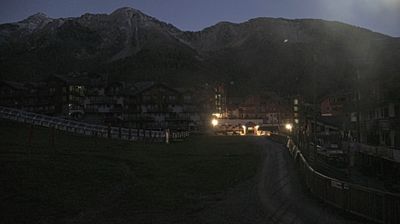

Uvernet-Fours combines the working character of an Alpine valley commune with the seasonal energy of a ski-resort area, reflecting its position in the Ubaye valley of the Southern French Alps. The Ubaye River runs below wooded slopes and high passes, while the hamlets of Uvernet and Fours retain the dispersed settlement pattern of this mountain country. Pra-Loup, within the commune, is a major winter-sports resort linked with Val d’Allos in the Espace Lumière ski area. Uvernet-Fours was created in 1973 through the merger of Uvernet and Fours, a reminder that its identity reaches beyond the resort. Browse other webcams across Provence-Alpes-Côte d’Azur to place this Alpine setting in a wider geographic context.
2 webcams
Provence-Alpes-Côte d’Azur occupies France’s southeastern Mediterranean coast and Alpine borderlands. Its terrain runs from the Rhône delta and the Camargue wetlands to the limestone coves of the Calanques and the high valleys of the French Alps, while the Côte d’Azur forms its celebrated shoreline. Marseille, France’s oldest city, is a major port, and Avignon’s Palais des Papes recalls the 14th-century papal court. Inland, Provençal markets, olive cultivation and lavender-growing areas remain central to regional identity. Browse additional webcams nearby to see how Provence-Alpes-Côte d’Azur connects with the Mediterranean, the Alps and neighbouring Italy.
269 webcams
The Atlantic and Mediterranean coastlines, together with the Alps, Pyrenees and broad river basins, define much of France — they support maritime trade, farming, wine regions and travel throughout the year. The Seine runs through Paris, where the Eiffel Tower and the Louvre are among Europe’s most recognised landmarks. The Loire Valley is known for Renaissance châteaux, while Mont-Saint-Michel rises from a tidal bay in Normandy. Regional food traditions are equally distinctive, from Breton seafood to Provençal cooking, with bread, cheese and wine central to everyday life. France’s global cultural influence is evident in its language, literature, fashion and cinema. View additional webcams nearby to better understand how France’s coasts, plains and mountain borders relate to their surroundings.
2.2K webcams