 South Saint Georges: DE 1 @ US 13 (SCOTT RUN - SOUTH OF CANAL)
South Saint Georges lies along the Chesapeake and Delaware Canal, where flat coastal-plain farmland and woodland meet one of Delaware’s principal road corridors. Completed in 1829, the canal created a navigable link between the Delaware River and Chesapeake Bay, shortening the water passage between Philadelphia and Baltimore. The surrounding area is shaped by Delaware Route 1, a major north–south highway, alongside working fields, scattered homes and broad tree cover. This is an edge-of-canal landscape rather than a dense town centre, with St. Georges immediately to the north.
Generated by AI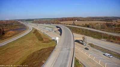

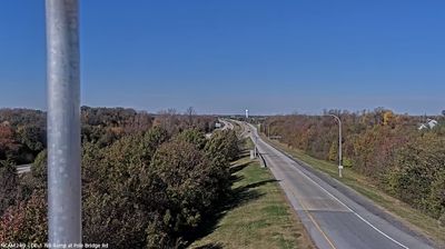
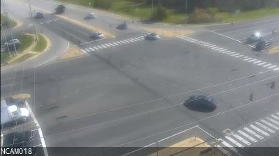
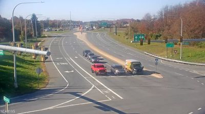
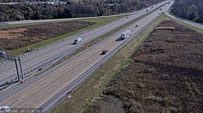
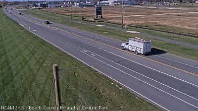
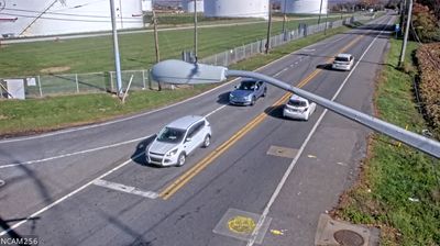
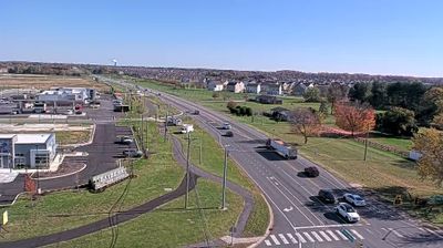


The Chesapeake & Delaware Canal defines the setting of South Saint Georges — this tidal waterway carries commercial traffic between the Delaware River and Chesapeake Bay, giving the community a distinctly waterside character. South Saint Georges lies on northern Delaware’s low coastal plain, where transport corridors and residential areas meet the canal’s broad engineered channel. Opened in 1829, the canal shortened the maritime route between Philadelphia and Baltimore and remains central to the region’s geography. Nearby St. Georges recalls the settlement pattern that developed beside this strategic passage. Continue with other webcams from the area to see how this part of Delaware connects regionally.
1 webcam
Built around settlements and commerce on the Delaware River, Delaware grew into a compact Mid-Atlantic state. Its northern edge meets the river and Delaware Bay, while the south, including Sussex County near these coordinates, opens toward Atlantic beaches, salt marshes and low-lying farmland. Dover is the state capital; Wilmington, on the Christina River, is Delaware’s largest city and a long-standing industrial centre. Delaware was the first state to ratify the U.S. Constitution, on 7 December 1787, a distinction reflected in its “First State” nickname. Cape Henlopen, Lewes and Rehoboth Beach underline the importance of the coast to local life. Explore nearby webcam locations that provide complementary perspectives on Delaware’s coast, bay and inland communities.
374 webcams
The Atlantic, Pacific and Gulf coasts define much of the United States — their ports, fisheries and trade routes have long tied the country’s economy to the wider world. Between them, the Rocky Mountains, Great Plains and Mississippi River basin form sharply different regions, from high western ranges to broad agricultural heartlands. Cities carry much of the national story: New York’s Statue of Liberty, a gift from France dedicated in 1886, remains an enduring symbol, while Washington, DC concentrates major federal institutions. Indigenous nations have shaped these lands for millennia, and their living cultures remain essential to the country’s identity. Find related webcams in the surrounding areas to build a fuller picture of the United States.
32K webcams