 Drøbak: Drøbakgrunnen
Drøbak lies along the eastern shore of the Oslofjord, where wooded slopes and low islands constrict the waterway at Drøbaksundet. Drøbakgrunnen belongs to this sheltered yet strategically important stretch of fjord, beside the shipping route between Oslo and the open Skagerrak. Offshore, Oscarsborg Fortress occupies islands in the narrows; on 9 April 1940 its guns and torpedoes sank the German cruiser Blücher, delaying the invasion force bound for Oslo. Residential hillsides follow the shore, while small forested islands break up the channel. Drøbak retains a compact waterfront townscape of wooden houses, with the fjord still central to local life.
Generated by AI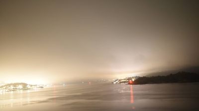
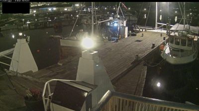
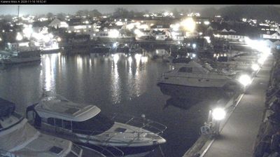


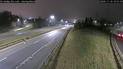
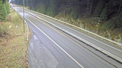

Few towns in Norway have a history as closely tied to navigation on the Oslofjord as Drobak (Drøbak). Set on the eastern shore of the fjord, the town faces the narrows where the waterway approaches Oslo, a position that long made it important to shipping. Just offshore, Oscarsborg Fortress occupies the islands of Kaholmen; on 9 April 1940 its guns sank the German cruiser Blücher, delaying the invasion of Oslo. Drøbak’s compact centre is known for wooden houses and its harbourfront, reflecting an enduring relationship with the fjord. Continue through nearby webcams to explore different parts of Drøbak and the Oslofjord.
6 webcams
The terrain of Akershus ranges from cultivated lowlands beside the Oslofjord in the west to forested hills and river valleys in the east and north, giving the county both coastal and inland character. Encircling much of Oslo, it links the capital with farmland, woodland and growing towns. The Glomma, Norway’s longest river, runs along parts of Akershus’s eastern side. At Eidsvoll, the Norwegian Constitution was adopted in 1814, a defining moment in the country’s modern history. Explore nearby webcam locations that provide complementary perspectives on Akershus.
53 webcams
Norway has served as a seafaring link between the North Atlantic and northern Europe since the Viking Age. Its long coastline is cut by fjords, while the Lofoten archipelago rises sharply from the Norwegian Sea and the mountains of Jotunheimen include Galdhøpiggen, Norway’s highest peak. Bergen’s Bryggen, the former Hanseatic wharf, recalls centuries of maritime trade. Farther north, Sámi culture remains an essential part of the country’s identity. Explore nearby webcam locations that provide complementary perspectives on Norway’s coast, fjords and mountain regions.
1.5K webcams