 Benecko: Herlíkovice, Bubákov - Žalý

Few places in the western Krkonoše Mountains have a history as closely tied to mountain tourism as Žalý. The ridge above the upper Elbe valley became an excursion destination in the late 19th century, when Count Jan Harrach initiated the stone lookout tower on Přední Žalý, completed in 1892. Its wooded slopes now form part of the Herlíkovice–Bubákov ski area, where chairlifts and pistes run through conifer forest. Benecko, a nearby mountain resort in Czechia's Liberec Region, occupies gentler slopes on the other side of the valley. The setting belongs to the Krkonoše, Czechia's highest mountain range, a protected landscape of forested ridges, meadows and scattered mountain settlements.
Generated by AI
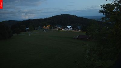



Benecko occupies the high western slopes of the Krkonoše Mountains in the Liberec Region, close to the boundary of Krkonoše National Park. At roughly 900 metres above sea level, it is among the Czech mountains’ established winter-sports settlements, with ski slopes and cross-country routes shaping its seasonal rhythm. Forests, mountain meadows and dispersed cottages give the municipality a distinctly upland character rather than that of a compact town. The stone lookout tower on nearby Žalý, built in 1892, recalls the long tradition of mountain tourism in this part of the range. Trace Benecko’s place among the Krkonoše ridges and neighbouring resorts by browsing webcams nearby.
5 webcams
Liberec Region is best known in Czechia for Ještěd, the mountain above Liberec crowned by its unmistakable hotel and television tower. In the country’s north, the region reaches from the Jizera Mountains towards the Krkonoše and Lusatian Mountains, while the Nisa River runs through Liberec and continues north into Poland and Germany. Liberec, the regional capital, developed as an important textile-manufacturing centre; its 19th-century Town Hall remains one of the city’s defining buildings. Borderland geography gives the area a distinctly Central European character, with mountain resorts, forest roads and historic towns close together. Browse additional webcams from the surrounding area to extend your view of Liberec Region.
112 webcams
The terrain of Czechia ranges from fertile lowlands in southern Moravia to mountain ridges along the northern frontier, giving this Central European country a distinctly varied geography. The Vltava runs through Prague before joining the Elbe, while the Krkonoše form part of the border with Poland and include Sněžka, Czechia’s highest mountain. Prague’s historic centre, with Prague Castle and Charles Bridge, reflects the city’s long role as a political and cultural centre. Beyond the capital, Bohemia is known for spa towns and brewing, and Moravia for wine-growing traditions. View additional webcams nearby to better understand how Czechia relates to its Central European surroundings.
1.4K webcams