 Empire: US 52: T.H.52 SB N of 200th St (MP 110.4)
Empire combines an agricultural setting with the steady movement of U.S. Highway 52 in a way that reflects its position at the rural edge of the Twin Cities metropolitan area. This Dakota County community lies near the Vermillion River, whose watershed crosses much of the county before reaching the Mississippi River. Highway 52 is a principal southeastern approach to Minneapolis–Saint Paul and continues toward Rochester, placing Empire along a major Minnesota travel corridor. Fields, shelterbelts and low-density development characterize the surrounding landscape, while the divided highway carries commuter and freight traffic through a largely open part of the county. The nearby town of Farmington provides the area’s more concentrated commercial and civic center.
Generated by AI
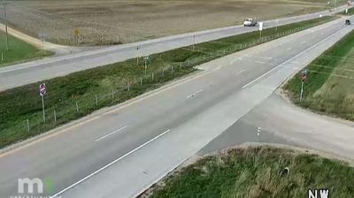
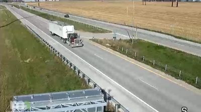
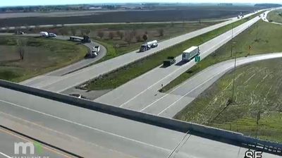
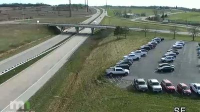

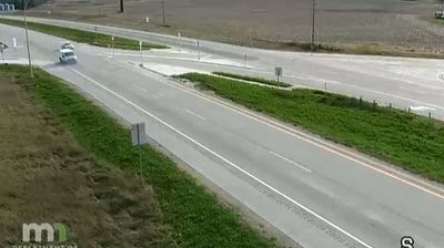


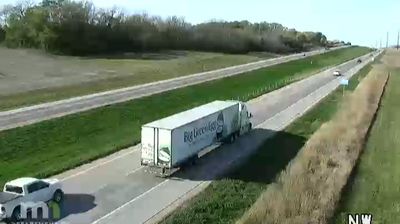

The Vermillion River defines the setting of Empire — its wooded corridor runs through a largely rural part of Dakota County, where working fields and scattered homes still shape daily life. Located south of the Minneapolis–Saint Paul metropolitan area, Empire has retained an open, small-community character despite the region’s growth. Whitetail Woods Regional Park lies nearby, preserving prairie, woodland and wetland habitats while providing trails and camping facilities. The area also forms part of the Vermillion River watershed, an important natural thread running east toward the Mississippi River. Discover other points of interest through webcams located across Empire and Minnesota.
4 webcams
Forests, prairie and a vast lake country define much of Minnesota – these environments sustain farming, recreation and communities accustomed to long, cold winters. The Mississippi River begins at Lake Itasca in the north, then crosses the state on its way south, while Minnesota’s Lake Superior shoreline brings a markedly different, rocky Great Lakes character to the northeast. Minneapolis and Saint Paul form the Twin Cities on the river, the state’s principal urban centre. Minnesota is also home to Dakota and Ojibwe communities whose cultural presence remains central to the region. Move on to other webcams in the region to compare landscapes and settings around Minnesota.
1.2K webcams
The Atlantic, Pacific and Gulf coasts define much of the United States — their ports, fisheries and trade routes have long tied the country’s economy to the wider world. Between them, the Rocky Mountains, Great Plains and Mississippi River basin form sharply different regions, from high western ranges to broad agricultural heartlands. Cities carry much of the national story: New York’s Statue of Liberty, a gift from France dedicated in 1886, remains an enduring symbol, while Washington, DC concentrates major federal institutions. Indigenous nations have shaped these lands for millennia, and their living cultures remain essential to the country’s identity. Find related webcams in the surrounding areas to build a fuller picture of the United States.
32K webcams