 Wastedo: US 52: T.H.52 NB N of Co Rd 1 (MP 91.8)
Tucked into the rolling uplands of southeastern Minnesota, Wastedo is a place whose character is shaped by the US Highway 52 corridor. This unincorporated Goodhue County community stands near the junction with Minnesota Highway 60, where a divided arterial route cuts through a mosaic of cultivated fields, grassed verges and broadleaf woodland. The Cannon River runs through the county to the north before reaching the Mississippi at Red Wing, placing Wastedo within the wider Upper Mississippi drainage. Goodhue County is named for James Madison Goodhue, founder and editor of the Minnesota Pioneer newspaper. Road traffic, farm country and wooded slopes, rather than a built-up town centre, define the area’s practical rural identity.
Generated by AI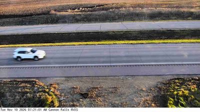

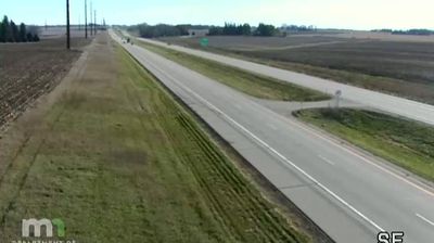
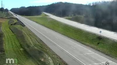


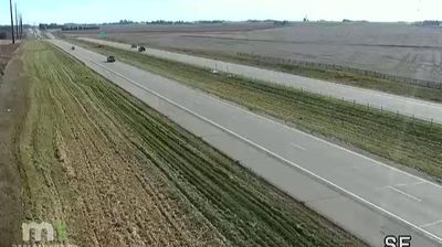
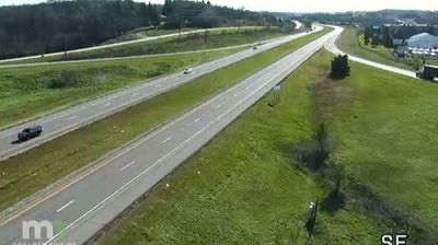
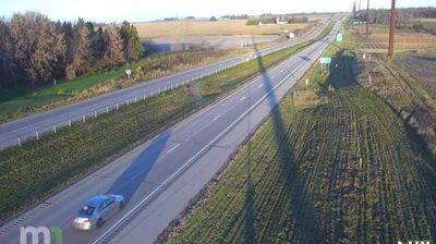
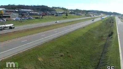

Wastedo lies in the Zumbro River watershed of southeastern Minnesota, where rolling farmland is broken by shallow wooded valleys and rural roads. This small unincorporated community is part of Minneola Township in Goodhue County, a largely agricultural area whose towns and hamlets remain closely tied to the surrounding fields. The setting is distinctly inland and quiet, far from Minnesota’s major urban centres yet connected to the broader Mississippi River region. Continue through nearby webcams to explore different parts of Goodhue County and southeastern Minnesota.
5 webcams
Forests, prairie and a vast lake country define much of Minnesota – these environments sustain farming, recreation and communities accustomed to long, cold winters. The Mississippi River begins at Lake Itasca in the north, then crosses the state on its way south, while Minnesota’s Lake Superior shoreline brings a markedly different, rocky Great Lakes character to the northeast. Minneapolis and Saint Paul form the Twin Cities on the river, the state’s principal urban centre. Minnesota is also home to Dakota and Ojibwe communities whose cultural presence remains central to the region. Move on to other webcams in the region to compare landscapes and settings around Minnesota.
1.6K webcams
The Atlantic, Pacific and Gulf coasts define much of the United States — their ports, fisheries and trade routes have long tied the country’s economy to the wider world. Between them, the Rocky Mountains, Great Plains and Mississippi River basin form sharply different regions, from high western ranges to broad agricultural heartlands. Cities carry much of the national story: New York’s Statue of Liberty, a gift from France dedicated in 1886, remains an enduring symbol, while Washington, DC concentrates major federal institutions. Indigenous nations have shaped these lands for millennia, and their living cultures remain essential to the country’s identity. Find related webcams in the surrounding areas to build a fuller picture of the United States.
32K webcams