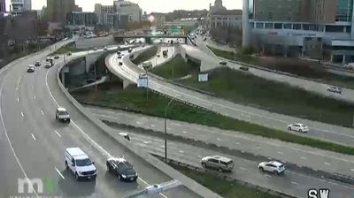
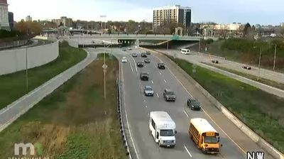
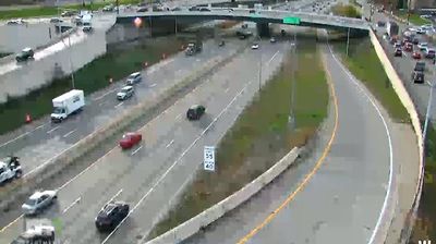
 Saint Paul: I-35E: I-94 WB @ I-35E NB
The landscape around St. Paul is defined by the broad Mississippi River valley and rolling urban terrain, which has shaped both the built environment and local life. Minnesota’s capital stands on the Mississippi, a waterway that remains a defining route through the Twin Cities. St. Paul developed from a river settlement into a regional centre of government, commerce and transport. The Minnesota State Capitol, designed by Cass Gilbert and completed in 1905, stands on a rise north of downtown. Interstate routes, rail lines and bridges reflect St. Paul’s continuing role in connecting neighbourhoods across a metropolitan area shared with Minneapolis. Cultural institutions include the Science Museum of Minnesota and the Ordway Center for the Performing Arts.
Generated by AI







Few cities in Minnesota have a history as closely tied to Mississippi River commerce as St. Paul. Established near the river's northernmost navigable point for steamboats, it grew into Minnesota's capital and a major Upper Midwest trading centre. The Minnesota State Capitol, completed in 1905, rises above downtown, while the Cathedral of Saint Paul anchors Summit Hill. Riverfront parks and trails follow the broad Mississippi valley, and nearby Minneapolis completes the Twin Cities metropolitan area. Explore nearby webcams to see how St. Paul and the Mississippi corridor connect with the wider Minnesota landscape.
46 webcams
Forests, prairie and a vast lake country define much of Minnesota – these environments sustain farming, recreation and communities accustomed to long, cold winters. The Mississippi River begins at Lake Itasca in the north, then crosses the state on its way south, while Minnesota’s Lake Superior shoreline brings a markedly different, rocky Great Lakes character to the northeast. Minneapolis and Saint Paul form the Twin Cities on the river, the state’s principal urban centre. Minnesota is also home to Dakota and Ojibwe communities whose cultural presence remains central to the region. Move on to other webcams in the region to compare landscapes and settings around Minnesota.
1.2K webcams
The Atlantic, Pacific and Gulf coasts define much of the United States — their ports, fisheries and trade routes have long tied the country’s economy to the wider world. Between them, the Rocky Mountains, Great Plains and Mississippi River basin form sharply different regions, from high western ranges to broad agricultural heartlands. Cities carry much of the national story: New York’s Statue of Liberty, a gift from France dedicated in 1886, remains an enduring symbol, while Washington, DC concentrates major federal institutions. Indigenous nations have shaped these lands for millennia, and their living cultures remain essential to the country’s identity. Find related webcams in the surrounding areas to build a fuller picture of the United States.
32K webcams