Historical images are not available for this webcam
 Southaven: US 51 at Church Rd
Horn Lake is best known within Mississippi for its position on U.S. Route 51, a historic north–south federal highway established in 1926. The city lies in DeSoto County immediately south of Memphis and forms part of the wider Memphis metropolitan area. U.S. Route 51 meets Church Road along a broad low-rise corridor shaped by traffic lanes, roadside businesses, utilities and wooded edges. The surrounding terrain belongs to the Mississippi Alluvial Plain, the level river-made region associated with the Mississippi River system. Horn Lake takes its name from a nearby oxbow lake, reflecting a landscape shaped by older watercourses long before the present road network. It is a distinctly Mid-South setting where a Mississippi municipality meets the urban reach of Memphis.
Generated by AI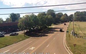
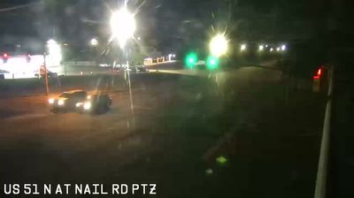
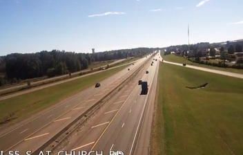
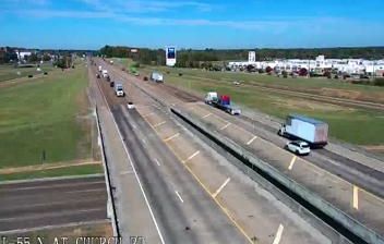



Southaven occupies the northern edge of the Mississippi Alluvial Plain in DeSoto County, immediately south of the Tennessee line. The Mississippi River flows west of the city, while Memphis lies just across the state border, making Southaven part of the wider Memphis metropolitan area. Interstate 55 provides a direct north–south link through this busy corner of the Mid-South. Landers Center, a multipurpose arena and convention venue, and neighbouring Snowden Grove Park anchor a local calendar of concerts, sports and public events. Southaven’s growth reflects its role as a residential and commercial centre on Memphis’s southern side. See how Southaven connects with DeSoto County and Memphis by browsing webcams nearby.
26 webcams
Mississippi occupies a broad, low-lying section of the Gulf Coastal Plain in the southeastern United States. The Mississippi River forms much of its western boundary, while the fertile Mississippi Delta lies between that river and the Yazoo River in the northwest. Forests, farmland and slow-moving waterways shape the interior; the state also meets the Gulf of Mexico along its short southern coast. Jackson, the capital, stands on the Pearl River. The Natchez Trace Parkway follows an old travel corridor, and the Delta is closely associated with the development of blues music. Discover other points of interest through webcams located across Mississippi.
441 webcams
The Atlantic, Pacific and Gulf coasts define much of the United States — their ports, fisheries and trade routes have long tied the country’s economy to the wider world. Between them, the Rocky Mountains, Great Plains and Mississippi River basin form sharply different regions, from high western ranges to broad agricultural heartlands. Cities carry much of the national story: New York’s Statue of Liberty, a gift from France dedicated in 1886, remains an enduring symbol, while Washington, DC concentrates major federal institutions. Indigenous nations have shaped these lands for millennia, and their living cultures remain essential to the country’s identity. Find related webcams in the surrounding areas to build a fuller picture of the United States.
32K webcams