Historical images are not available for this webcam
 Byhalia: I-269 at MM 17
Byhalia lies along the Interstate 269 corridor in northern Mississippi, amid the gently rolling, wooded terrain of Marshall County. The town stands southeast of Memphis in a rural setting shaped by fields, scattered homes and broad belts of trees. Interstate 269 forms part of the wider Memphis-area beltway network, linking this section of Mississippi with major interstate routes around the metropolitan area. Byhalia’s name comes from Choctaw and is commonly translated as “white oaks,” reflecting the Native American languages behind many Mississippi place names. The community remains a local center for the surrounding countryside while maintaining close connections with the Memphis region.
Generated by AI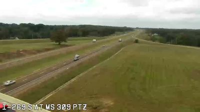

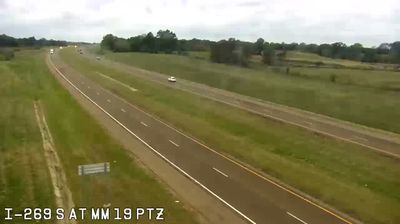

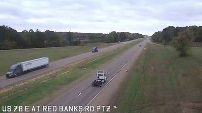


Byhalia combines a close-knit town center with the open agricultural character of northern Mississippi in a way that reflects its position in Marshall County, south of Memphis. The community lies in the rolling inland terrain of the Mississippi Hill Country, while the Coldwater River is part of the county’s wider river system. Byhalia’s name has roots in the Chickasaw language, recalling the Native American heritage preserved in place names across this part of the state. It belongs to the wider Memphis metropolitan area, yet its everyday rhythm remains distinctly small-town. Continue with other webcams from northern Mississippi to see how this part of the state connects regionally.
9 webcams
Mississippi occupies a broad, low-lying section of the Gulf Coastal Plain in the southeastern United States. The Mississippi River forms much of its western boundary, while the fertile Mississippi Delta lies between that river and the Yazoo River in the northwest. Forests, farmland and slow-moving waterways shape the interior; the state also meets the Gulf of Mexico along its short southern coast. Jackson, the capital, stands on the Pearl River. The Natchez Trace Parkway follows an old travel corridor, and the Delta is closely associated with the development of blues music. Discover other points of interest through webcams located across Mississippi.
442 webcams
The Atlantic, Pacific and Gulf coasts define much of the United States — their ports, fisheries and trade routes have long tied the country’s economy to the wider world. Between them, the Rocky Mountains, Great Plains and Mississippi River basin form sharply different regions, from high western ranges to broad agricultural heartlands. Cities carry much of the national story: New York’s Statue of Liberty, a gift from France dedicated in 1886, remains an enduring symbol, while Washington, DC concentrates major federal institutions. Indigenous nations have shaped these lands for millennia, and their living cultures remain essential to the country’s identity. Find related webcams in the surrounding areas to build a fuller picture of the United States.
32K webcams