 Vert-Saint-Denis: Pouilly-le-Fort: Péage des Eprunes
Few places in Île-de-France have a history as closely tied to the planned expansion of the Paris region as Vert-Saint-Denis. The commune lies on the plateau south of the Seine, close to Melun, where older fields and wooded ground meet the transport corridors of the Sénart area. Vert-Saint-Denis was among the communes incorporated into the planned new town of Sénart, a project that reshaped this part of the outer Paris region in the late 20th century. Its older core retains the Church of Saint-Pierre-Saint-Paul, while the Bois de Bréviande and the wider Seine-et-Marne countryside maintain a rural presence around the built-up districts. This is a connected edge of greater Paris rather than a historic urban centre.
Generated by AI

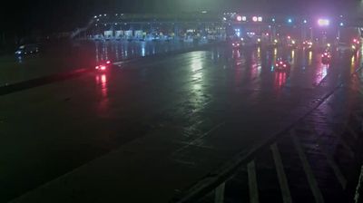
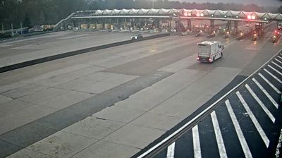



Vert-Saint-Denis sits on the Brie plateau in Île-de-France, where the Ru de Balory crosses a low, cultivated plain. Just west of Melun, the commune belongs to the urban belt on Paris’s southeastern side, while fields and wooded strips still define parts of its edge. Its older centre is complemented by newer residential districts shaped by the development of the planned town of Sénart. The area lies in Seine-et-Marne, part of the historic Brie country, whose dairy tradition is closely associated with cheeses including Brie de Meaux. Continue with other webcams from the area to see how this part of Île-de-France connects regionally.
2 webcams
The Seine and its tributaries define much of Île-de-France - their valleys have long concentrated settlement, transport and economic life around Paris. France’s capital is the region’s powerful urban core, yet the wider territory extends into agricultural plains, forests and historic towns across the Paris Basin. The Marne loops through eastern suburbs and countryside, while the Forest of Fontainebleau is a major woodland south-east of Paris. Cultural landmarks range from the Louvre and Notre-Dame Cathedral to the Palace of Versailles, once the principal royal residence of the French monarchy. Explore additional nearby webcams to understand how Île-de-France connects with the Paris Basin.
47 webcams
The Atlantic and Mediterranean coastlines, together with the Alps, Pyrenees and broad river basins, define much of France — they support maritime trade, farming, wine regions and travel throughout the year. The Seine runs through Paris, where the Eiffel Tower and the Louvre are among Europe’s most recognised landmarks. The Loire Valley is known for Renaissance châteaux, while Mont-Saint-Michel rises from a tidal bay in Normandy. Regional food traditions are equally distinctive, from Breton seafood to Provençal cooking, with bread, cheese and wine central to everyday life. France’s global cultural influence is evident in its language, literature, fashion and cinema. View additional webcams nearby to better understand how France’s coasts, plains and mountain borders relate to their surroundings.
1.9K webcams