 Schwandorf
The Naab River defines the setting of Schwandorf — its valley gives this Upper Palatinate town an open character amid low, wooded uplands. Schwandorf Airfield, with the ICAO code EDPE, occupies open ground east of the town and is part of the area’s small-aircraft infrastructure. Schwandorf is the administrative seat of the Bavarian district of the same name. It belongs to the Upper Palatinate, one of Bavaria’s historic regions, where farmland, woodland edges and smaller settlements shape the wider countryside. The Naab links the local landscape southward with the Danube basin, while Schwandorf is also an important railway junction in eastern Bavaria.
Generated by AI


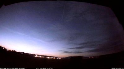

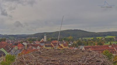

Schwandorf has served as a market town in the Upper Palatinate since the Middle Ages. Situated on the Naab River in Bavaria, it is a regional centre in a landscape of river valleys, farmland and wooded uplands. The town received its civic rights in 1410, and its underground Felsenkeller are a notable reminder of local brewing traditions: these rock-cut cellars were used to store beer before modern refrigeration. Schwandorf also provides a practical base for exploring the Naab valley and eastern Bavaria. View additional webcams nearby to better understand how Schwandorf and the Upper Palatinate relate to their surroundings.
2 webcams
Built around the early medieval Duchy of Bavaria, Bavaria grew into Germany’s largest federal state. The Danube crosses its broad centre, while the Bavarian Alps form its southern edge and include the Zugspitze, Germany’s highest mountain. Munich is the state capital and the home of Oktoberfest, a festival rooted in an 1810 royal wedding. Beyond the metropolis, Franconia’s vineyards, Swabian towns and Alpine resorts reveal how varied this part of Germany can be. Browse additional webcams from the surrounding area to extend your view of Bavaria.
867 webcams
Germany stretches from the North Sea and Baltic Sea coasts to the Alps on its southern border, encompassing northern plains, river valleys and forested uplands. The Rhine, Danube and Elbe have long connected its regions, while the Black Forest and Bavarian Alps give the south a more dramatic relief. Berlin’s Brandenburg Gate and Museum Island reflect the capital’s role in German history and culture. Cologne Cathedral, a UNESCO World Heritage Site, rises above the Rhine, and the Bauhaus movement, founded in Weimar in 1919, transformed modern design far beyond Germany. Regional cooking, Christmas markets and brewing traditions bring further character to daily life. Browse additional webcams from the surrounding area to extend your view of Germany.
2.8K webcams